October 31, 2006
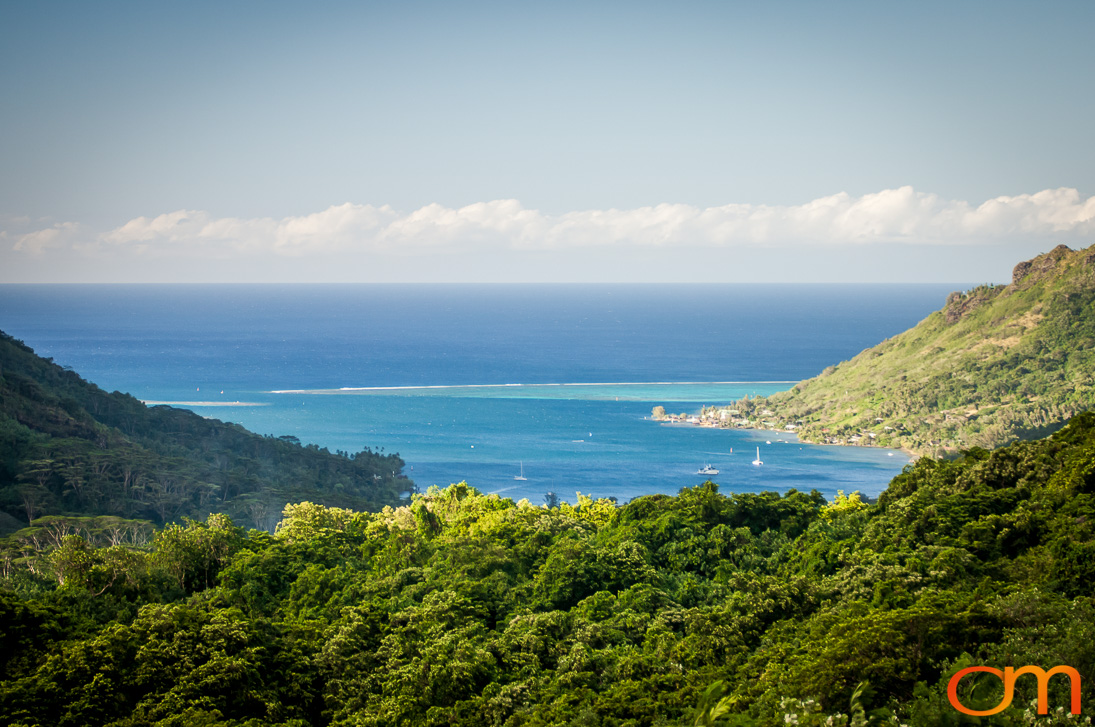
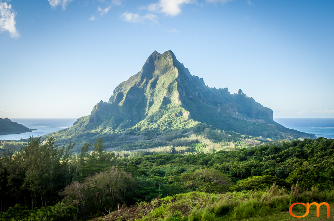
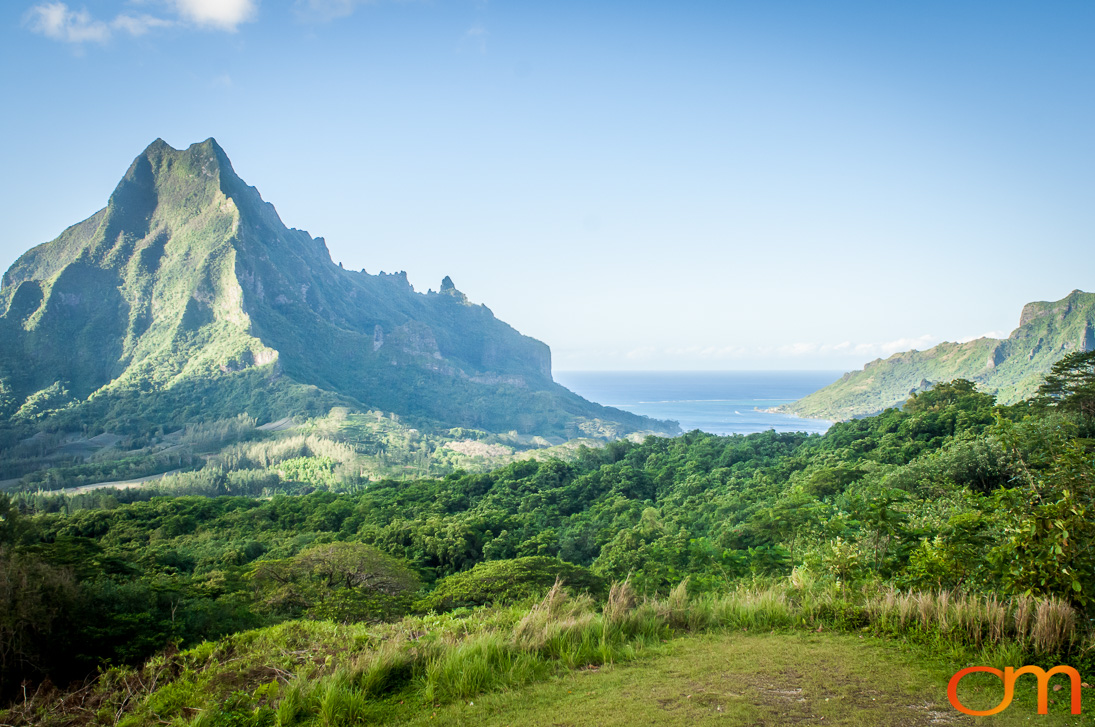
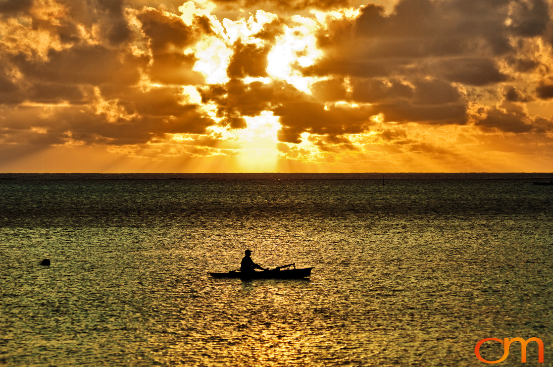
Meaning “yellow lizard” in Tahitian, “Mo’orea” is a high island found Northwest of Tahiti. The island itself was formed from a volcanic eruption almost 2.5 million years ago. Spanning an area of 51.7 square miles (134 sq. km). The highest point on Mo’orea is Mount Tohi’e’a, which is in the center of Mo’orea. The mountain is tall enough to be seen from Tahiti. The island has many bays surrounding it, which are believed to formerly have been river basins that were filled during the Holocene sea-level rise. On the North shore, there are two almost symmetrical bays: Opunohu Bay to the west and Cook’s bay to the East.
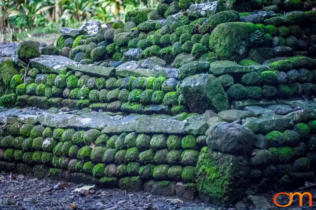
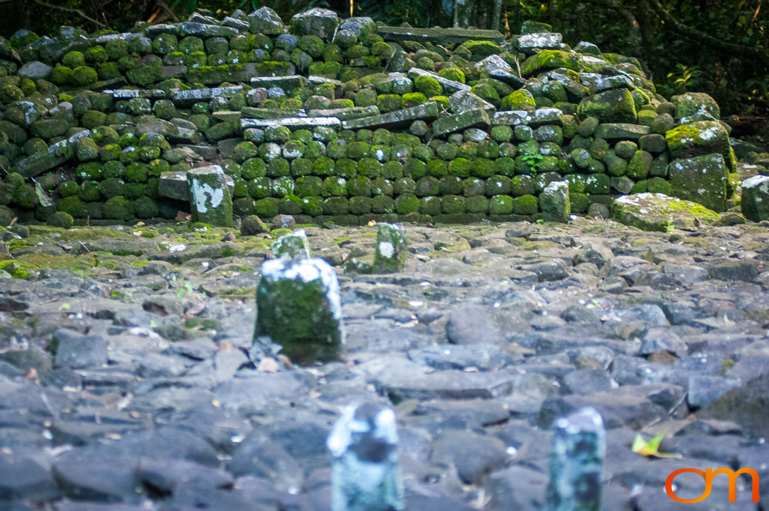
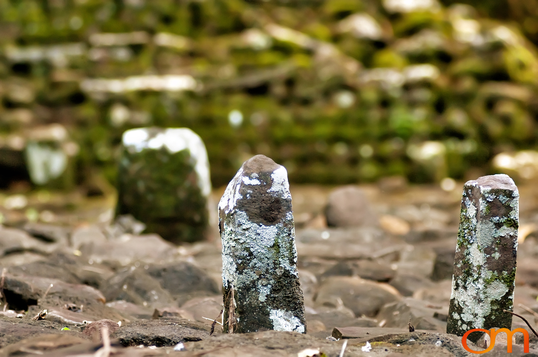
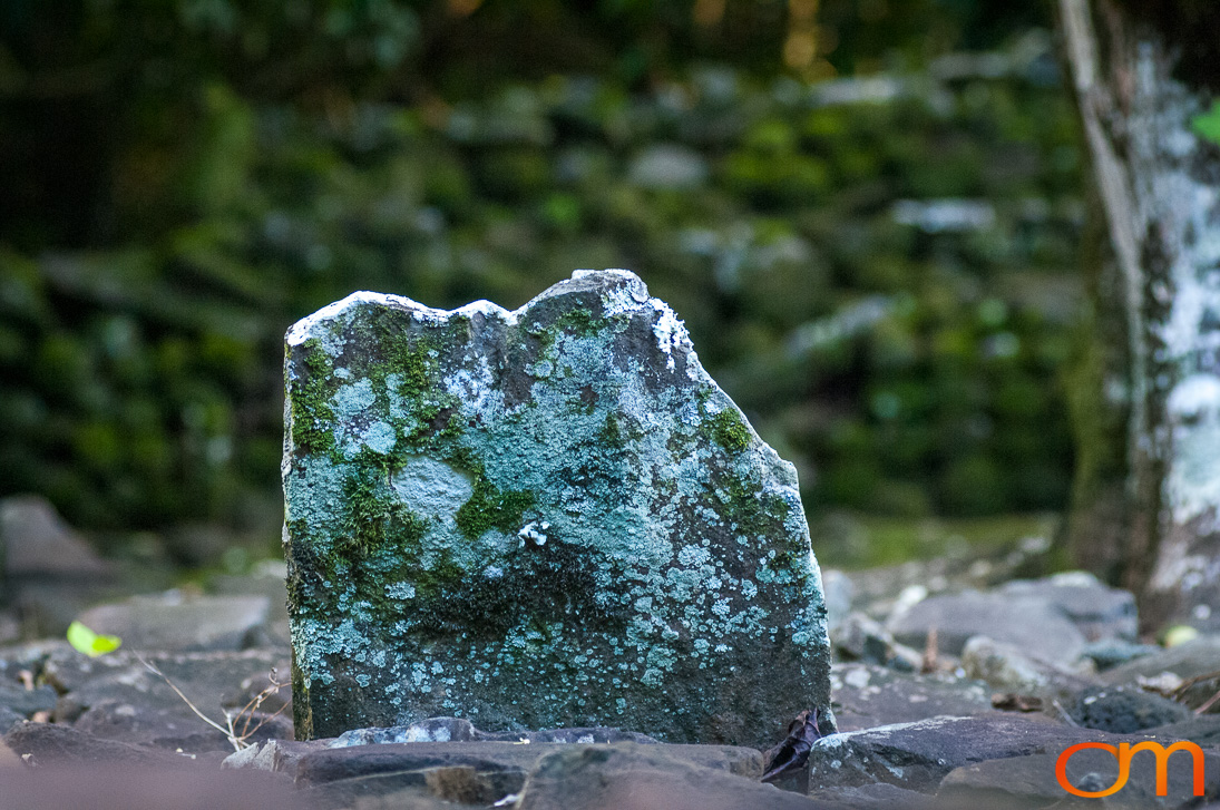
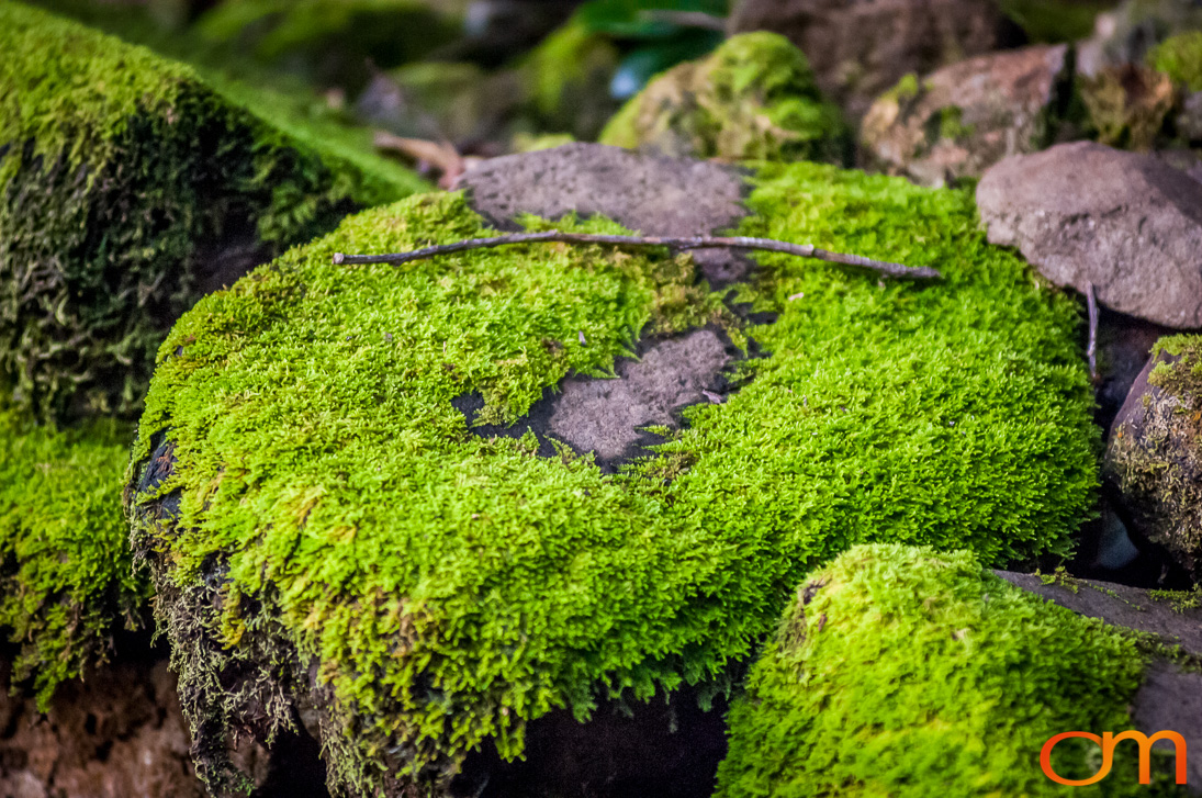
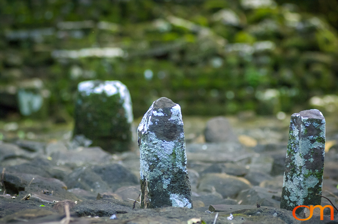
Ancient stone rocks shaped like pyramids called “marae” are found throughout the island. These rocks house carvings tell stories of sacrifices and other historical events on the island. The oldest marae, called “Afareaitu Marae,” is found in the island’s main village and was constricted in 900.