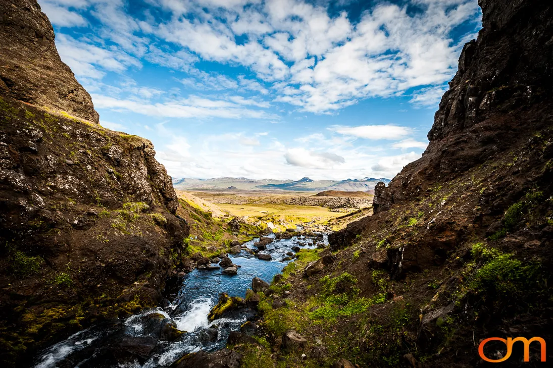
Borgarfjordur
Borgarfjörður: Volcanic and Glacial Landscapes
August 2015
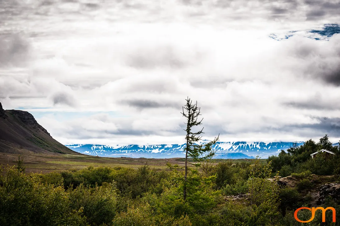
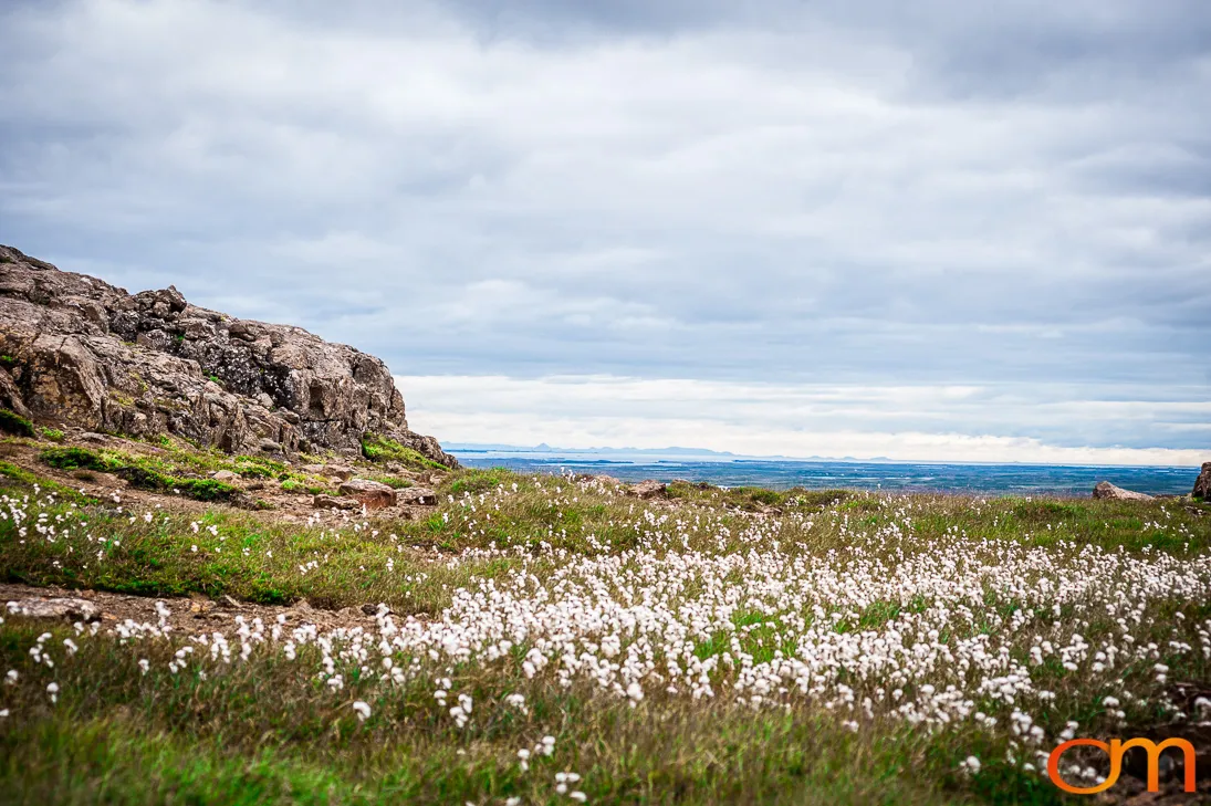
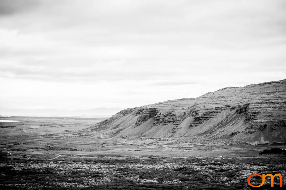
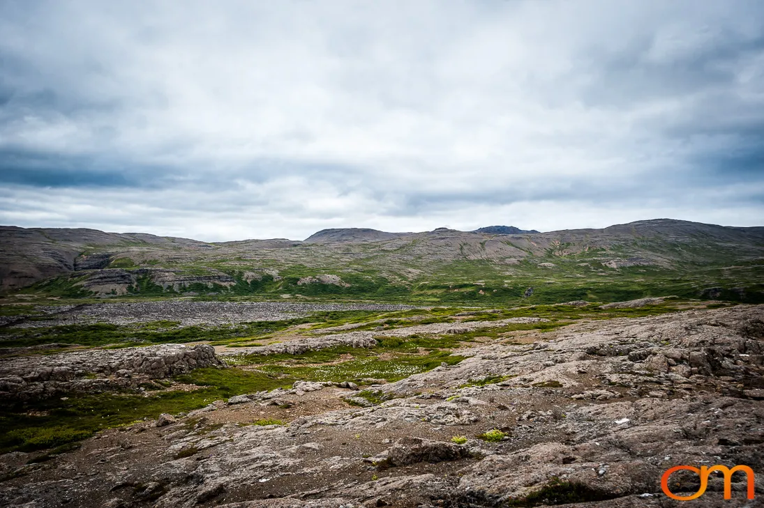
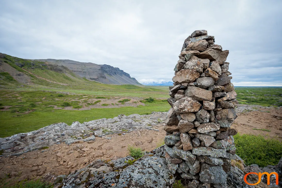
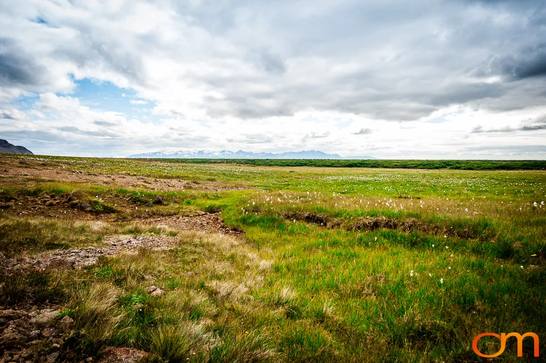
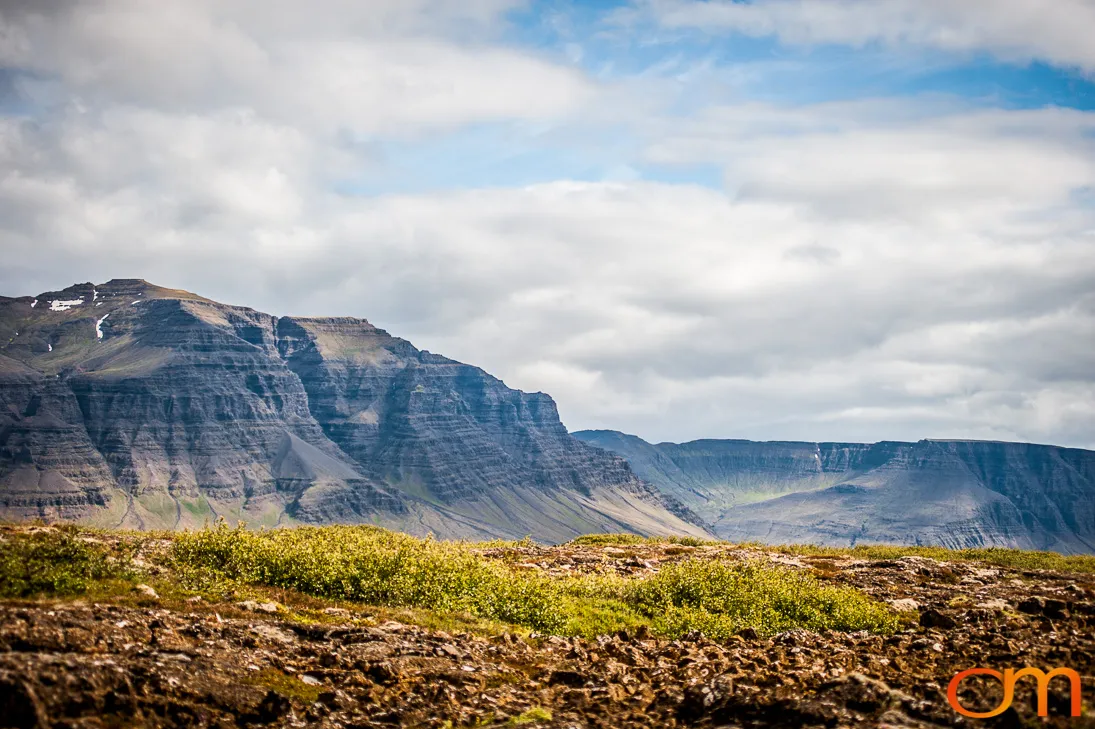
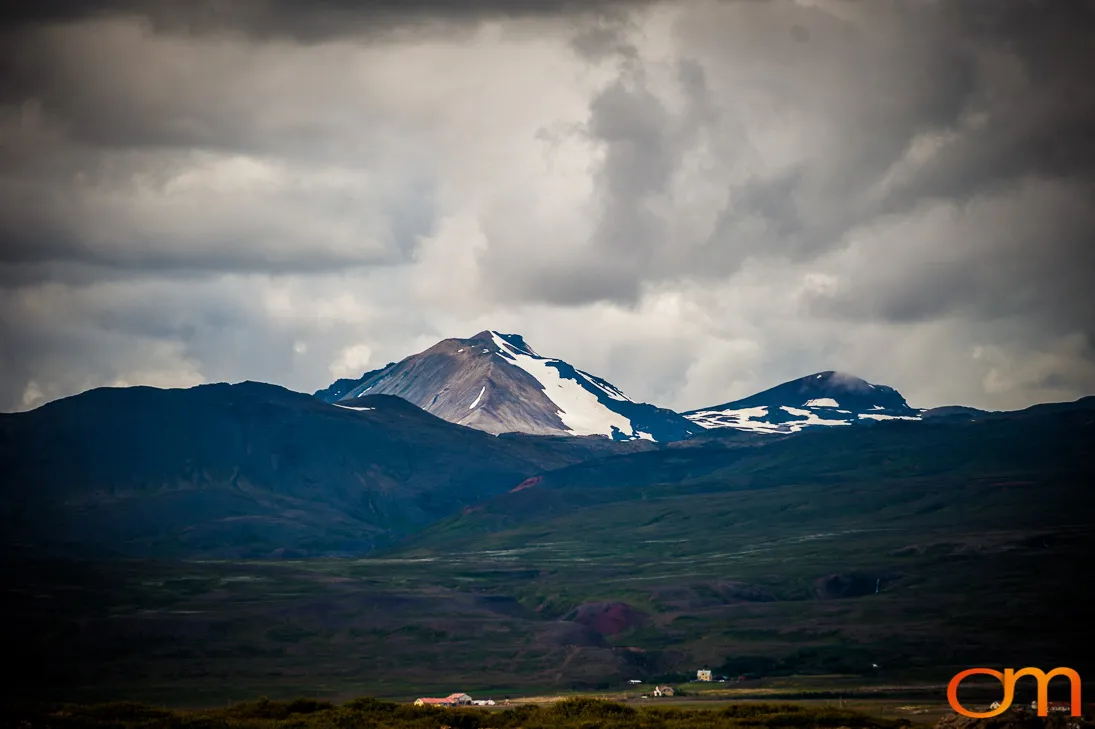
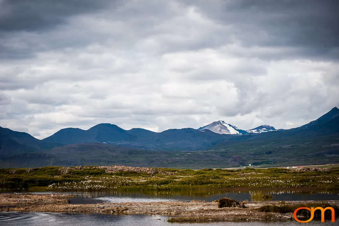
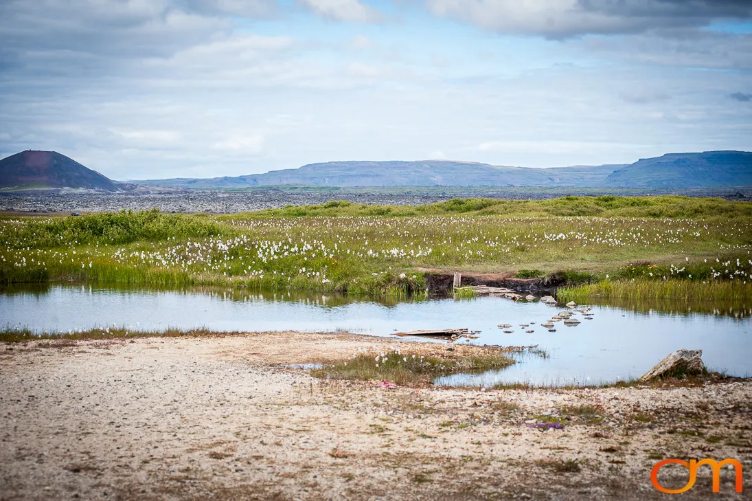
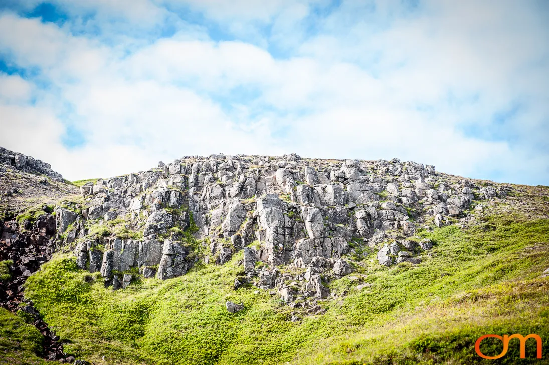
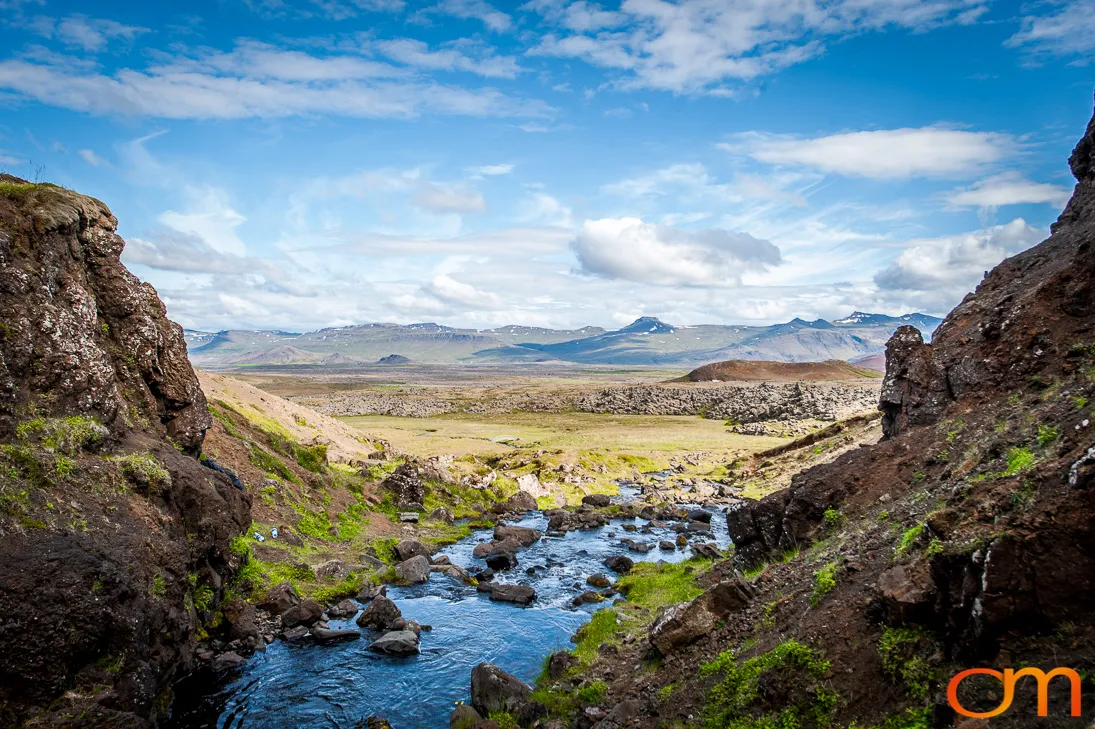
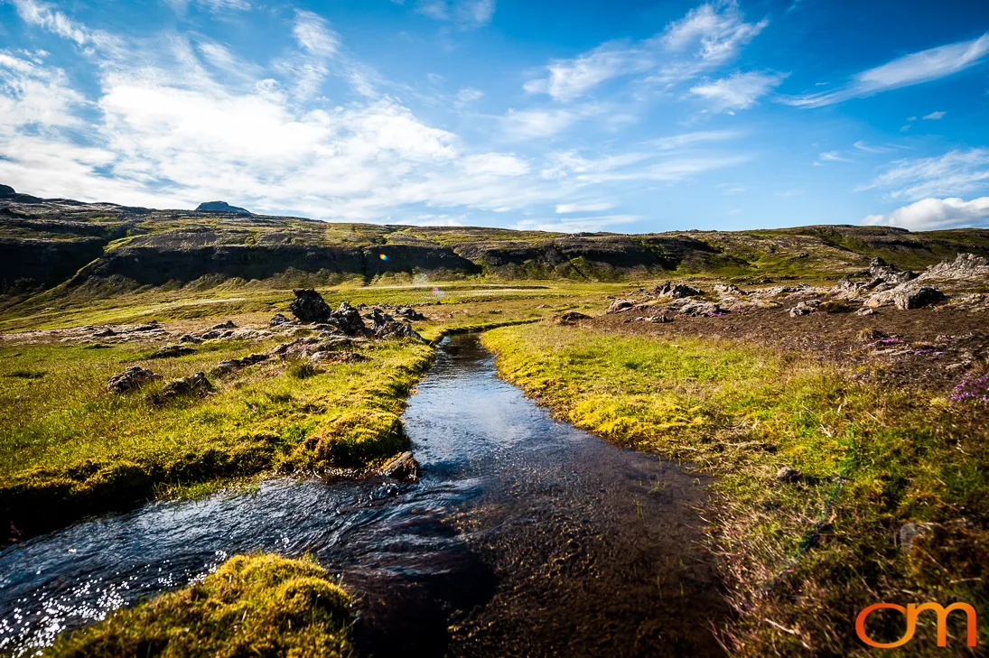
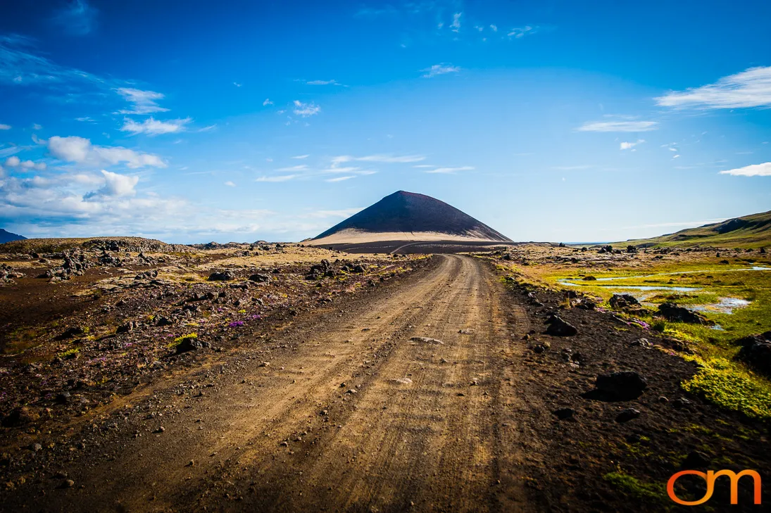
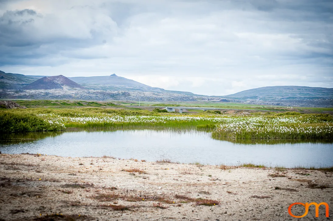
Borgarfjörður is a fjord in western Iceland, and the name is also used for the surrounding region. The town of Borgarnes stands near the fjord, while the landscape extends inland through wetlands, river valleys, mountains, lava fields, sand plains, and glaciated highlands near Langjökull.
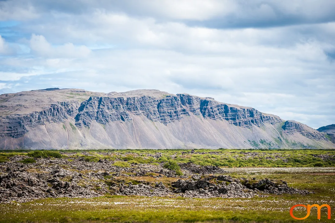
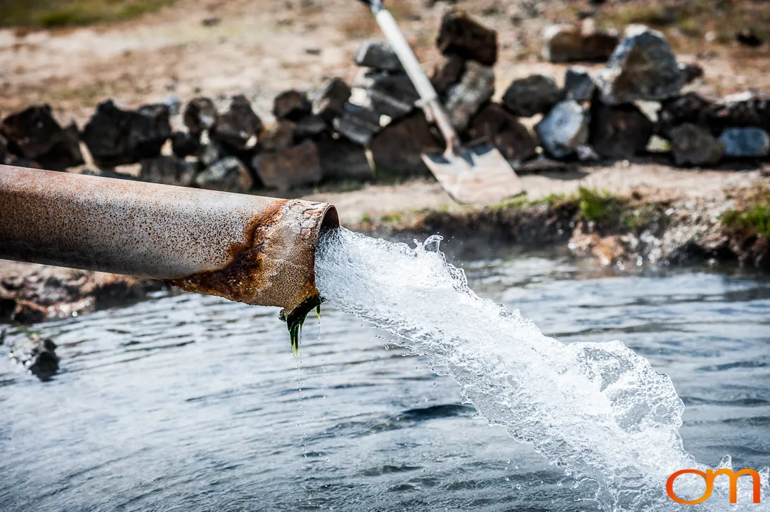
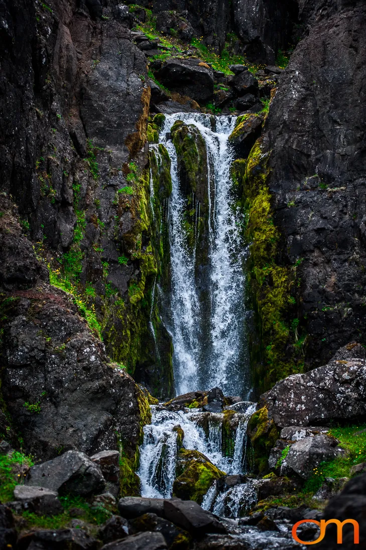
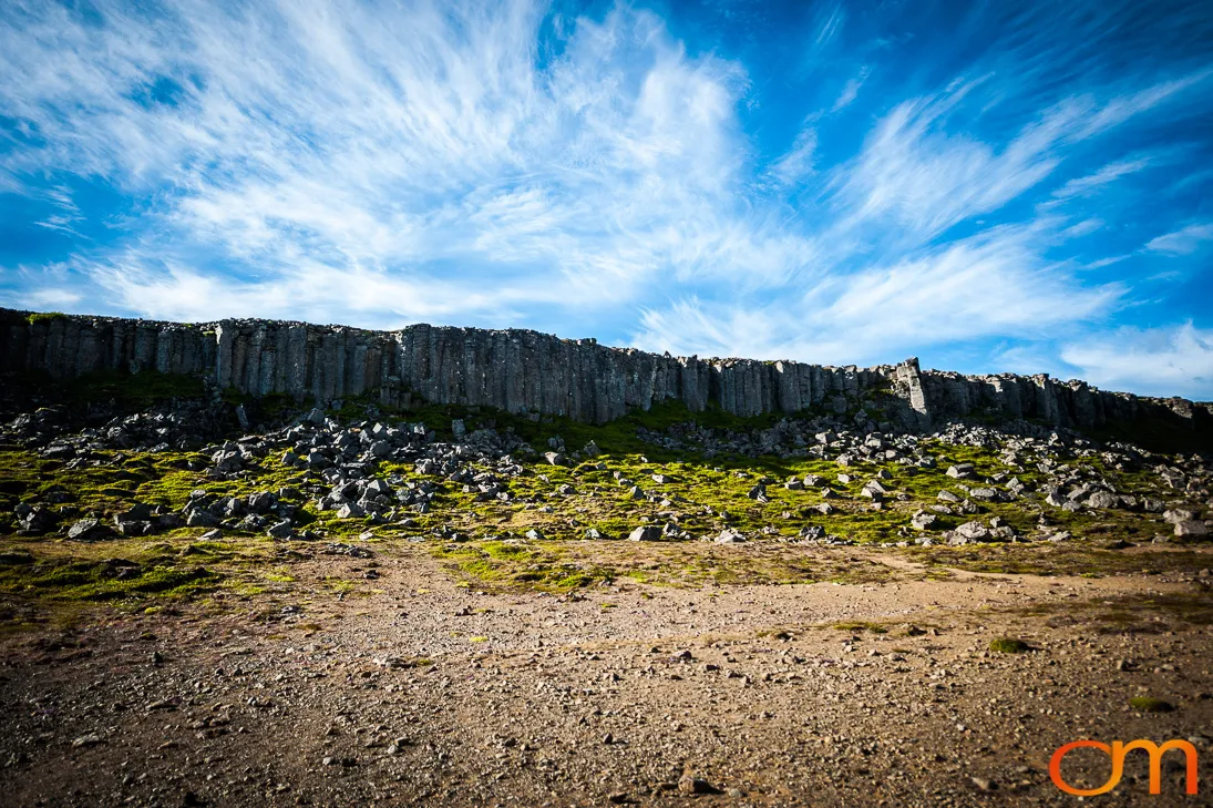
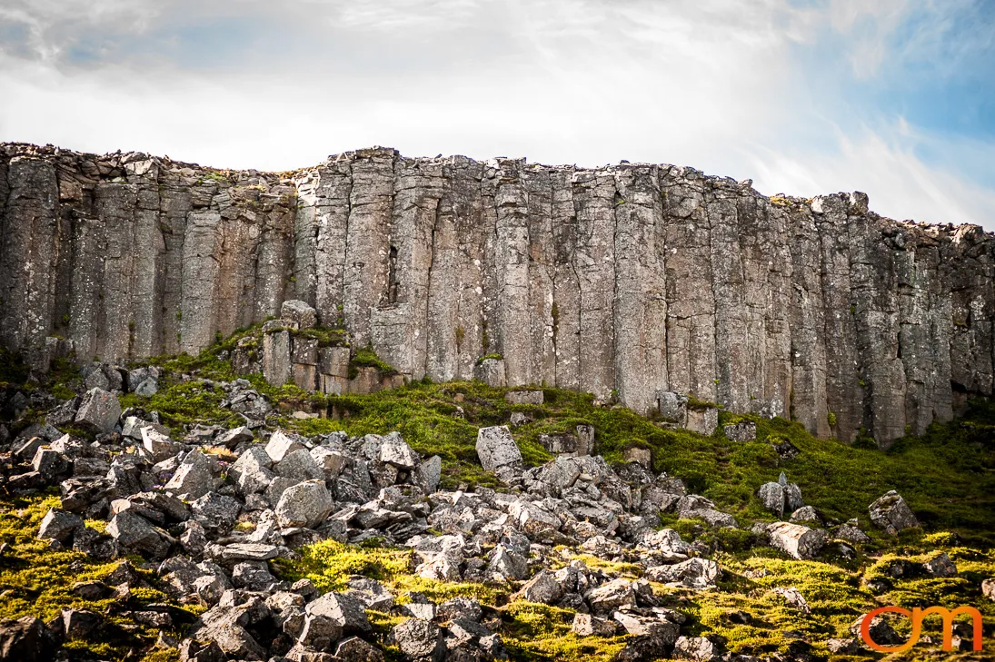
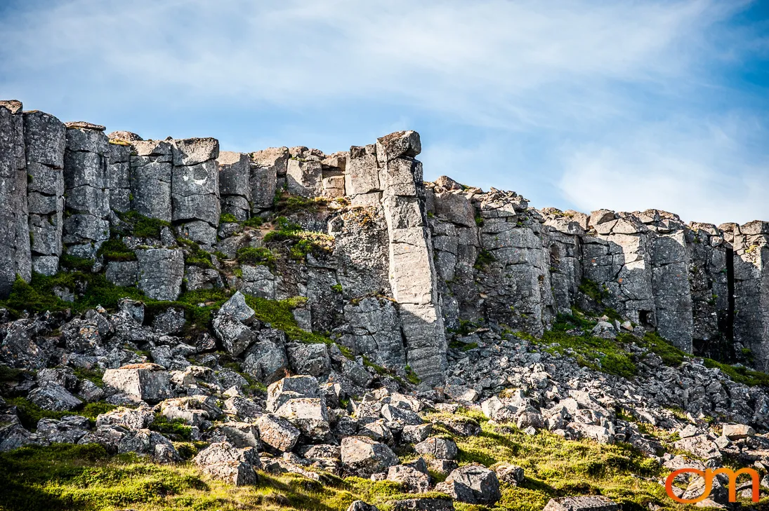
The region records the combined influence of volcanism, ice, and water. Volcanic eruptions produced craters and extensive lava fields, while glaciers and glacial rivers eroded valleys and transported sediment. Groundwater moves through porous lava and re-emerges as springs and waterfalls. Geothermal systems heat underground water in parts of Borgarfjörður, but they do not create the glaciers or most of the region’s rivers and waterfalls.
Iceland supported substantially more native birch woodland when permanent settlement began. Woodland declined through clearing, wood cutting, livestock grazing, soil erosion, volcanic events, and a harsh climate. Native birch woodland survives in parts of Borgarfjörður, including the protected Húsafellsskógur area, where the forest has recovered following protection from grazing.
Current Context
These photographs were taken in 2015. As of 2026, almost all Icelandic glaciers are receding. Continued thinning of Langjökull is expected to alter glacier-fed runoff and the surrounding landscape during this century.