Fiordland National Park
Fiordland National Park from the Air
June 2015
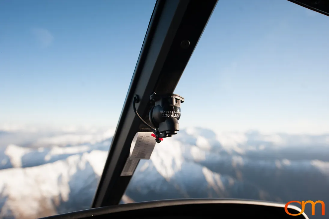
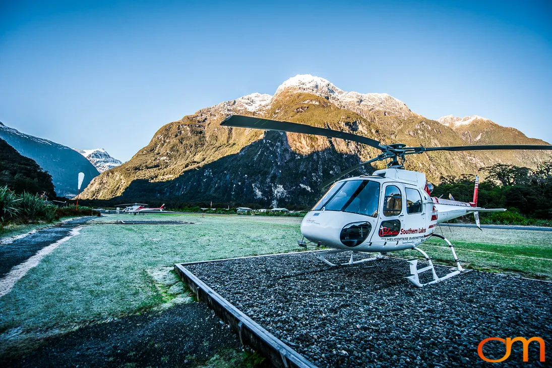
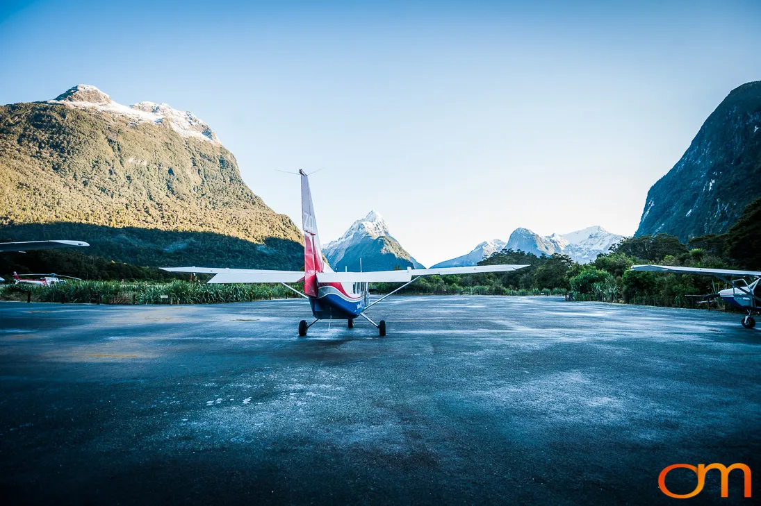
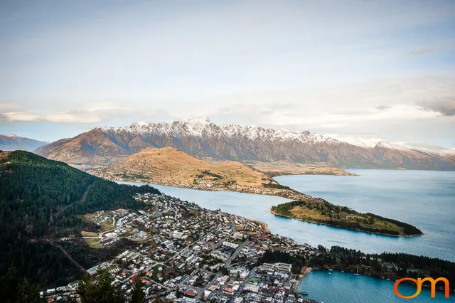
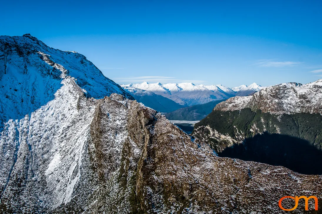
Photographed during a 2015 helicopter flight from Queenstown, Fiordland National Park occupies a vast area of southwestern New Zealand’s South Island. Established in 1952, it is New Zealand’s largest national park and forms part of Te Wāhipounamu—South West New Zealand, a UNESCO World Heritage Site.
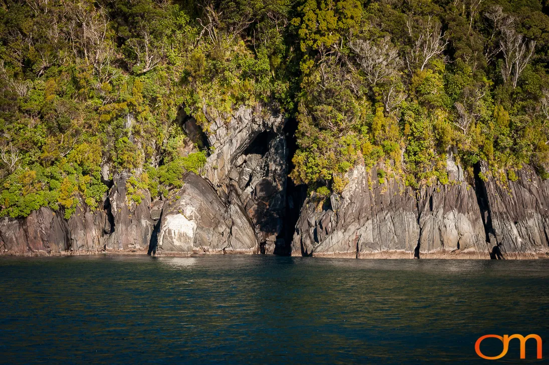
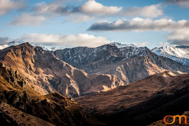
Fiordland’s steep mountains, deep valleys, lakes, and coastal fiords were shaped by repeated glaciation. Although commonly called “sounds,” Milford Sound / Piopiotahi, Doubtful Sound / Patea, and Tamatea / Dusky Sound are fiords: glacial valleys later flooded by the sea.
James Cook named Doubtful Harbour in 1770 after deciding that its entrance was unsuitable for his ship. He entered Dusky Sound during his second voyage in 1773, not during his first voyage as previously stated.
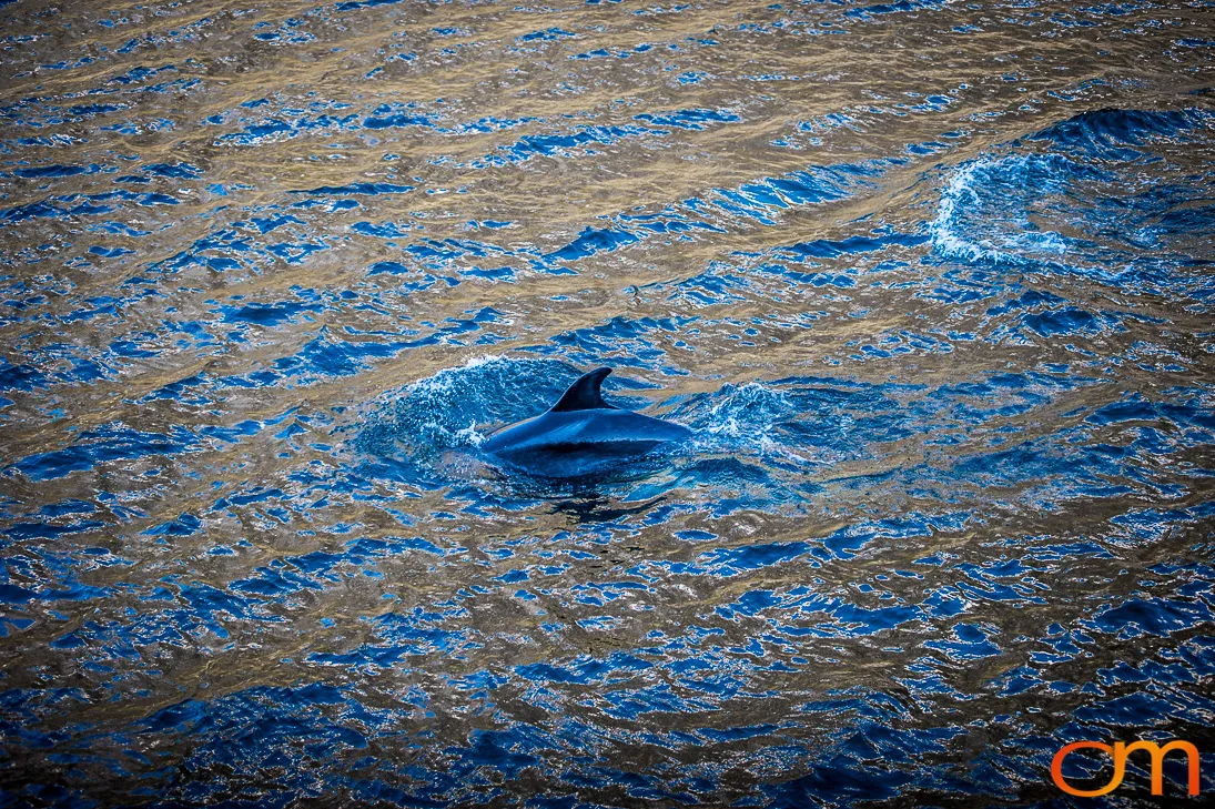
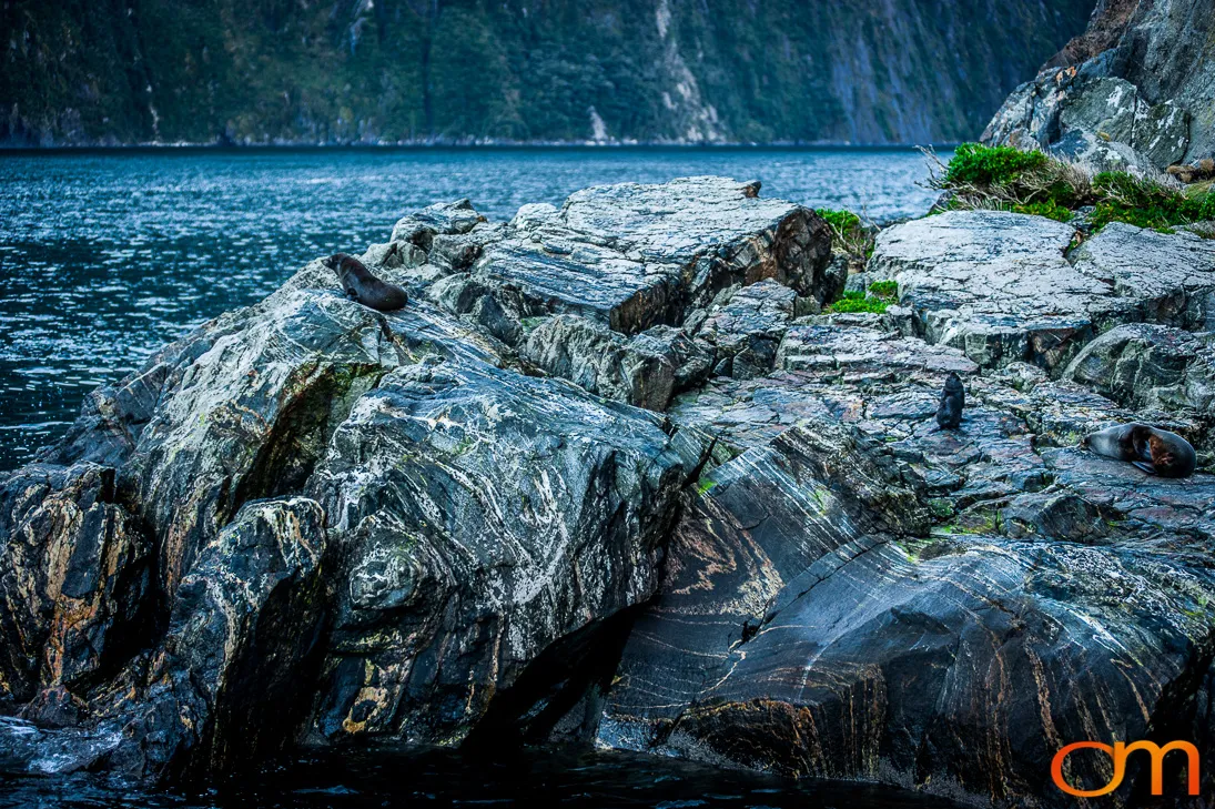
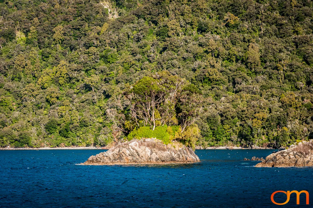
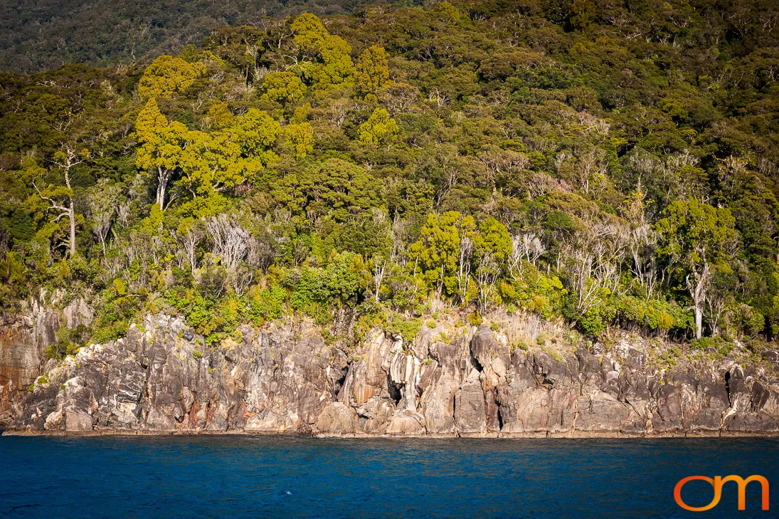
The region’s high rainfall supports extensive temperate rainforest, including southern beech, podocarps, ferns, mosses, and shrubs. Its terrestrial and marine environments support native birds, New Zealand fur seals, dolphins, penguins, and other wildlife. The Department of Conservation administers the national park and its protected ecosystems.