Efate
Communities of Efate After Cyclone Pam
June 2015
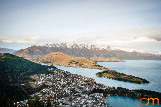
Vanuatu is an archipelago of approximately 83 islands in Melanesia, about 1,090 miles (1,750 kilometers) east of northern Australia. Efate, the country’s third-largest island, is home to Port Vila, the national capital.
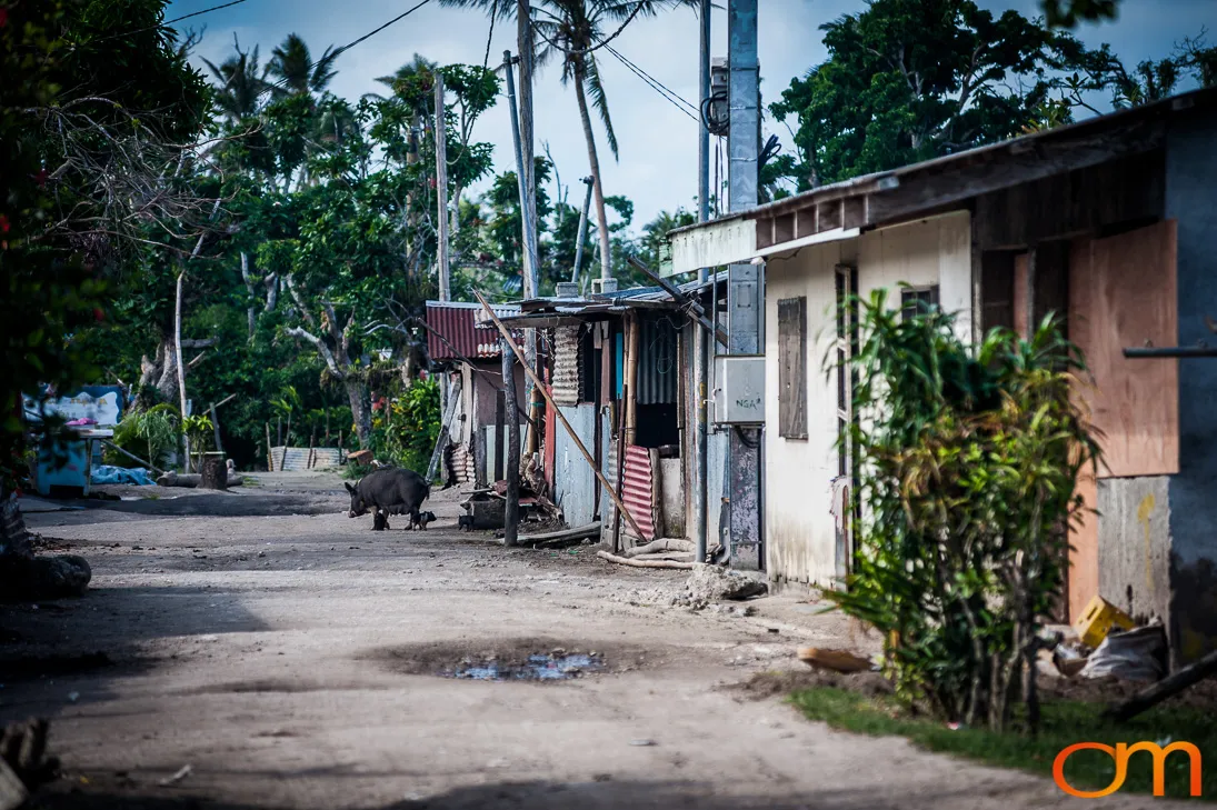
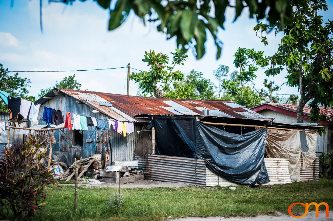
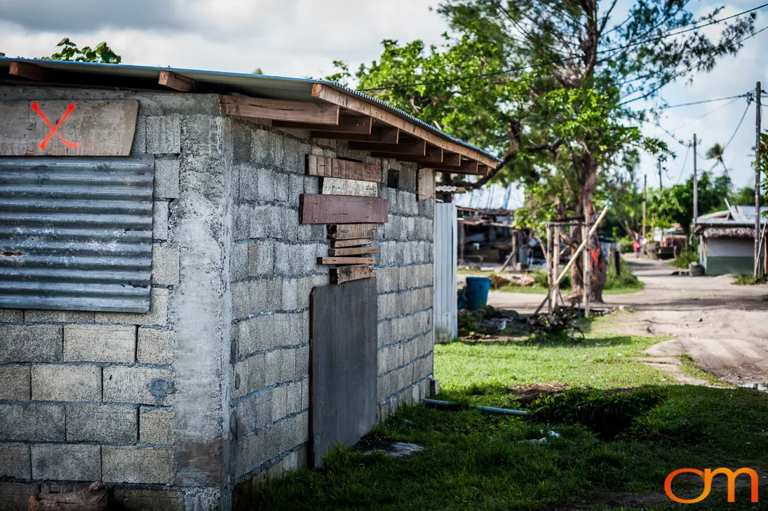
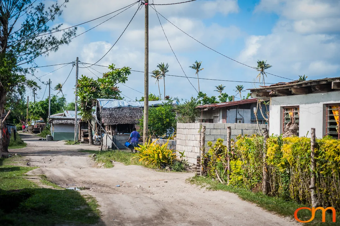
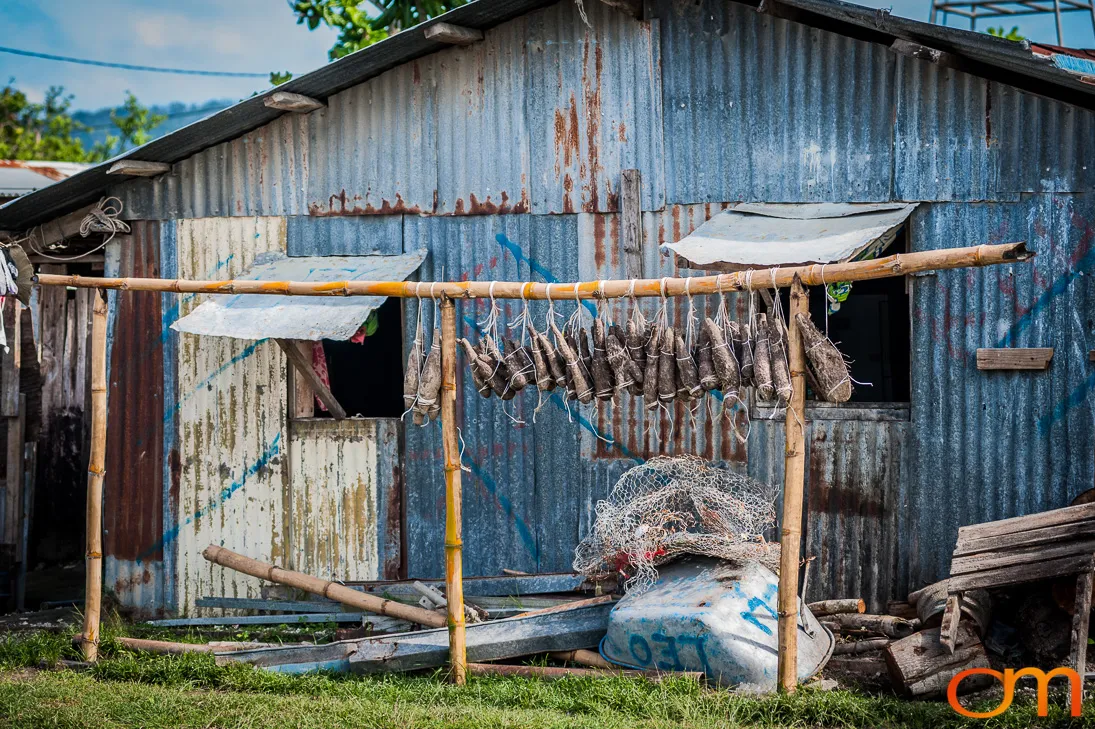
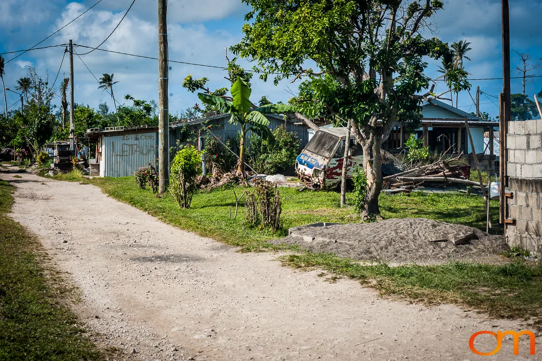
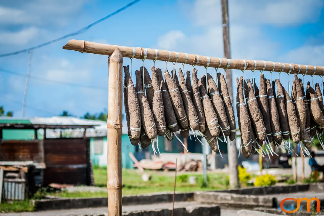
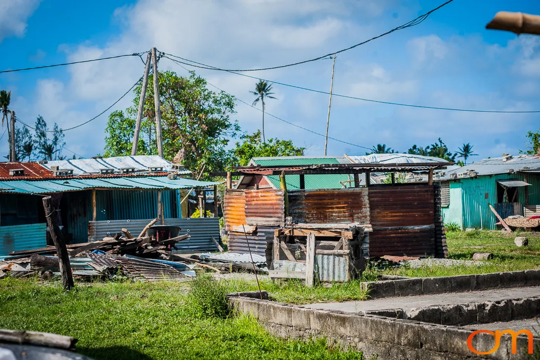
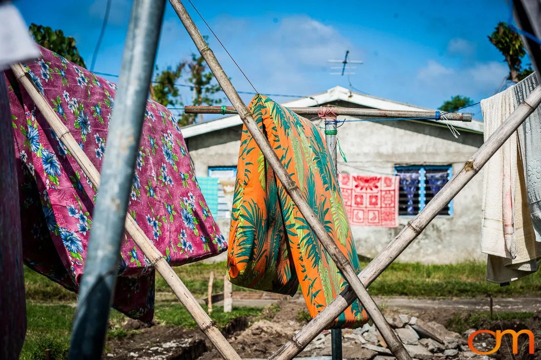
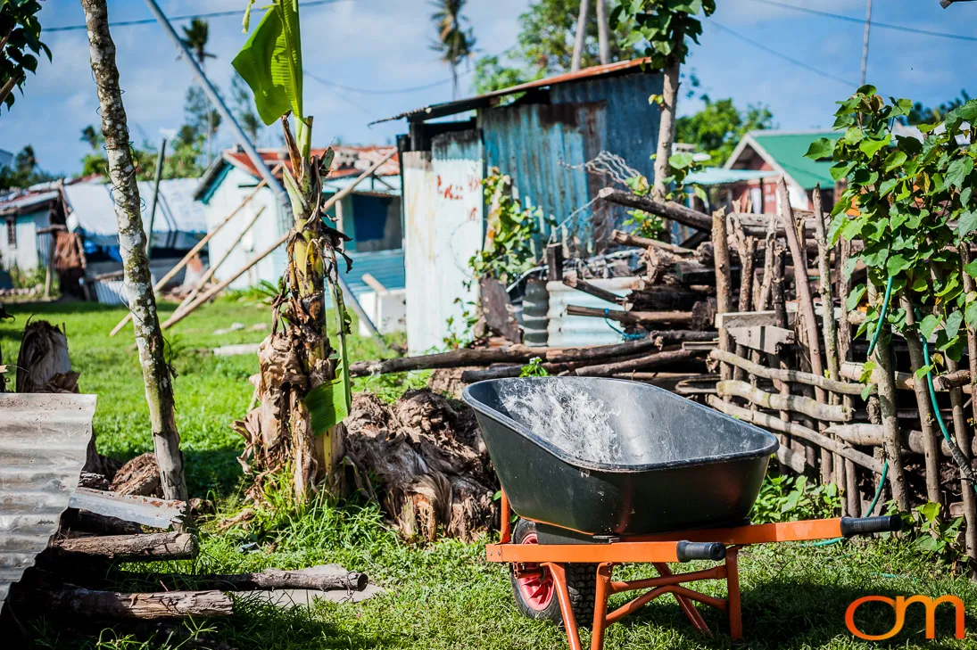
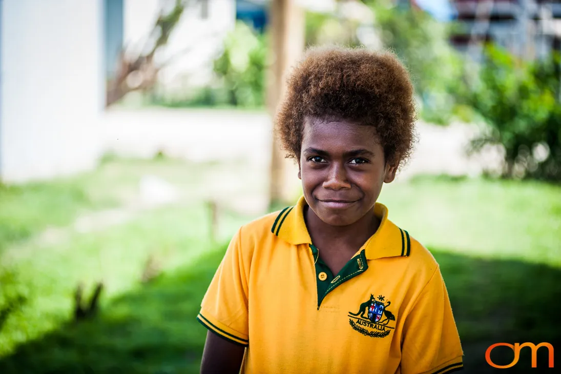
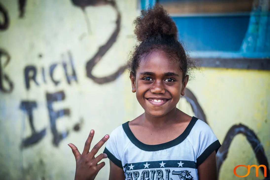
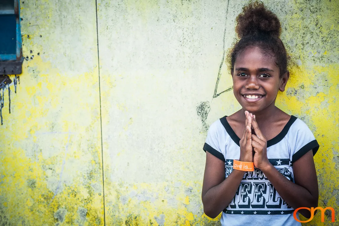
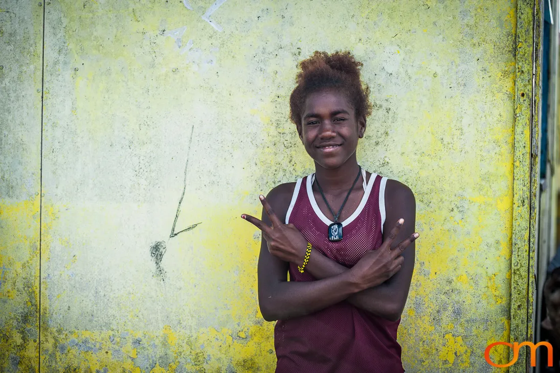
These photographs document residential communities on Efate in 2015, after Tropical Cyclone Pam caused extensive destruction across central and southern Vanuatu. The Category 5 cyclone passed close to Efate on March 13, damaging or destroying homes, roads, communications systems, water infrastructure, crops, schools, and medical facilities.
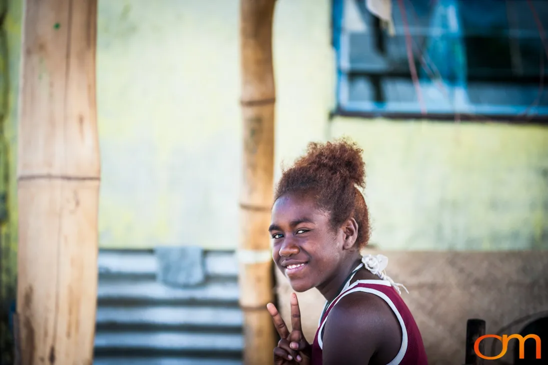
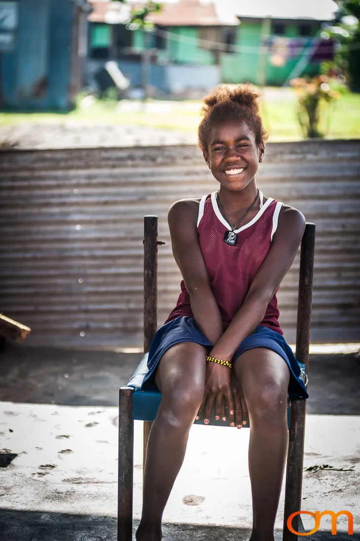
Across Vanuatu, approximately 17,000 buildings were damaged or destroyed, and an estimated 65,000 people were displaced. Recovery required the reconstruction of housing and public infrastructure as well as the restoration of agriculture, water supplies, and local livelihoods. The photographs preserve a record of homes, community spaces, food preparation, and daily life during this period of recovery.