Bangalore
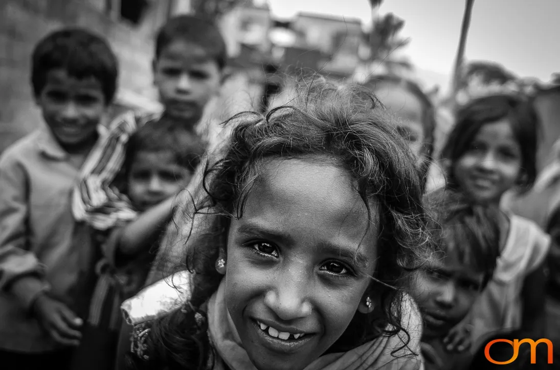
Bengaluru’s Informal Settlements: Portraits from Bangalore, 2004
August 2004
Bengaluru, officially known as Bangalore when these photographs were taken in 2004, is the capital of Karnataka in southern India. The city stands on the Deccan Plateau at an elevation of more than 3,000 feet (900 meters), making it one of India’s highest major cities.
Bengaluru is a major center for technology, engineering, scientific research, education, and service industries. Its concentration of technology companies and research institutions has led to its widespread description as the “Silicon Valley of India.”
According to the 2011 Census of India, the municipal corporation and adjoining outgrowths had a population of approximately 8.5 million people. Comparisons with earlier population figures require caution because the city’s administrative boundaries expanded substantially in 2007 with the formation of the Bruhat Bengaluru Mahanagara Palike, commonly known as BBMP.
Official information about Bengaluru’s slum population also varies according to the geographic boundaries and definitions used. The 2011 Census recorded 165,341 households and 712,801 residents in officially recognized, identified, or notified slum areas within the BBMP city-and-outgrowth area. This represented approximately 8.4 percent of the population recorded within that boundary.
A separate 2011 survey by the Karnataka Slum Development Board identified 597 slum areas in Bangalore. The number of settlements should not be directly compared with census household or population figures because the agencies used different classifications and methods.
Bengaluru’s low-income and informal settlements vary considerably in age, size, legal status, construction, and access to public services. Some are long-established communities, while others developed alongside construction, industrial activity, and the city’s rapid outward growth.
Migration is one factor influencing Bengaluru’s urban expansion, but informal settlements cannot be attributed to migration alone. Limited affordable housing, insecure land tenure, displacement, uneven infrastructure, and unequal access to water, sanitation, transportation, and employment also shape where low-income residents live.
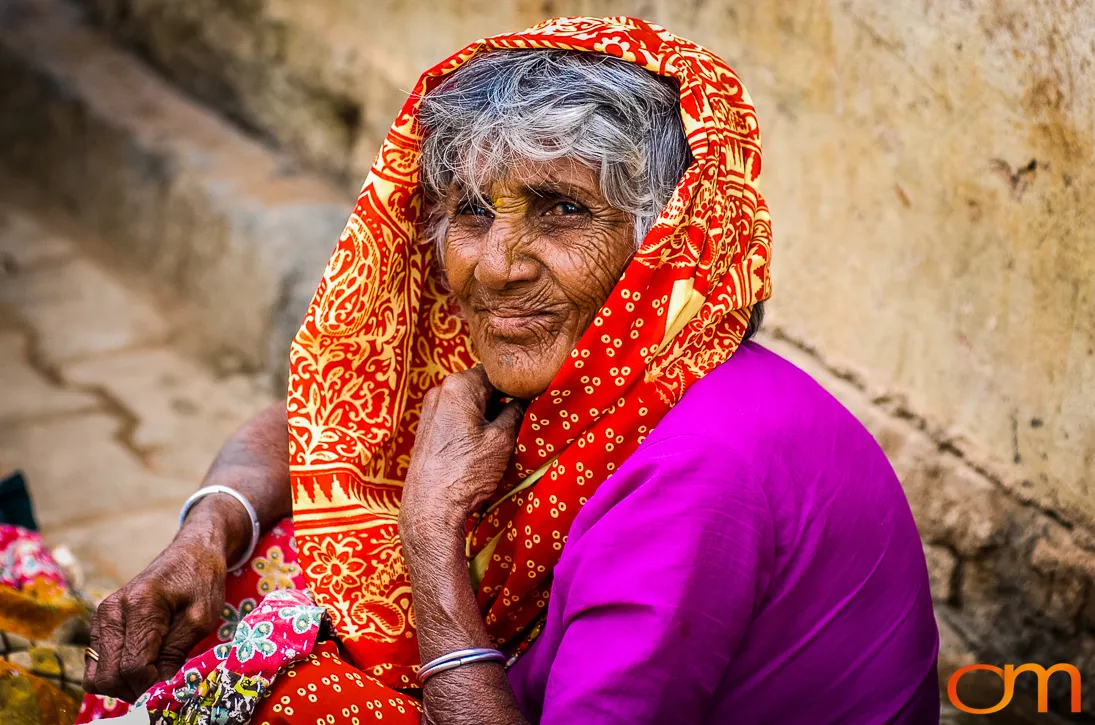
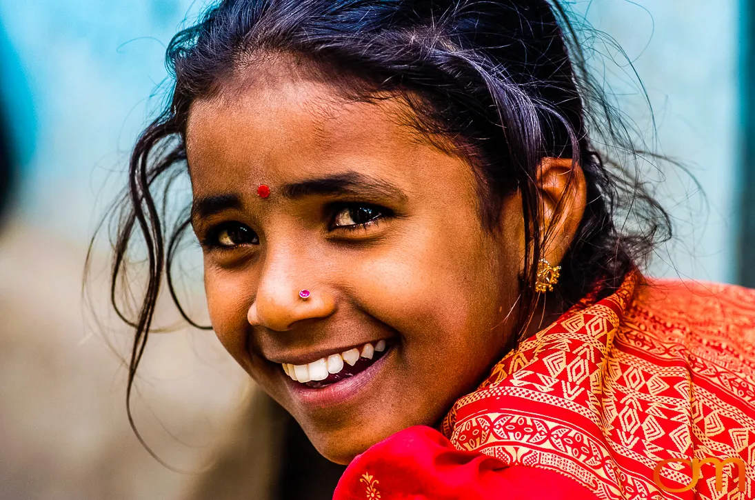
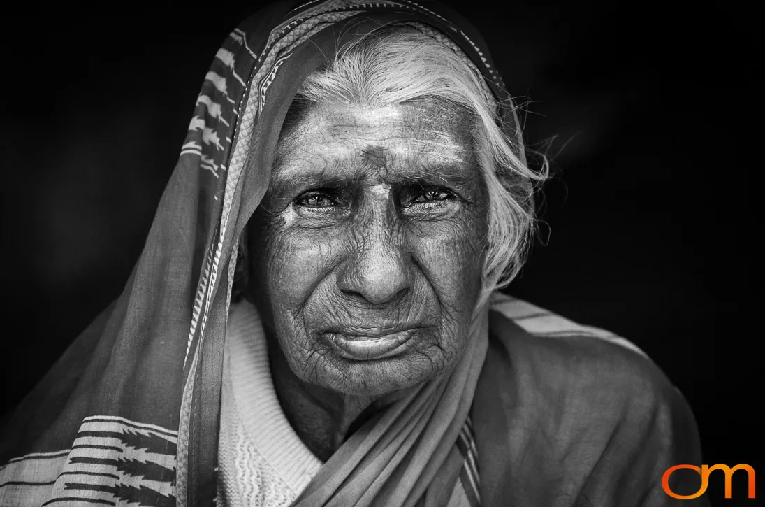
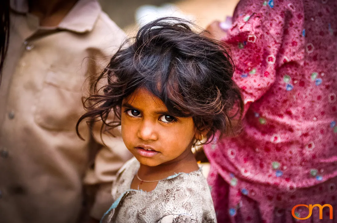
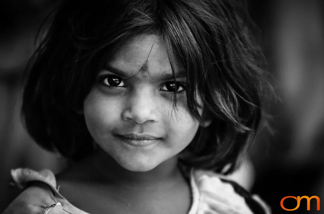
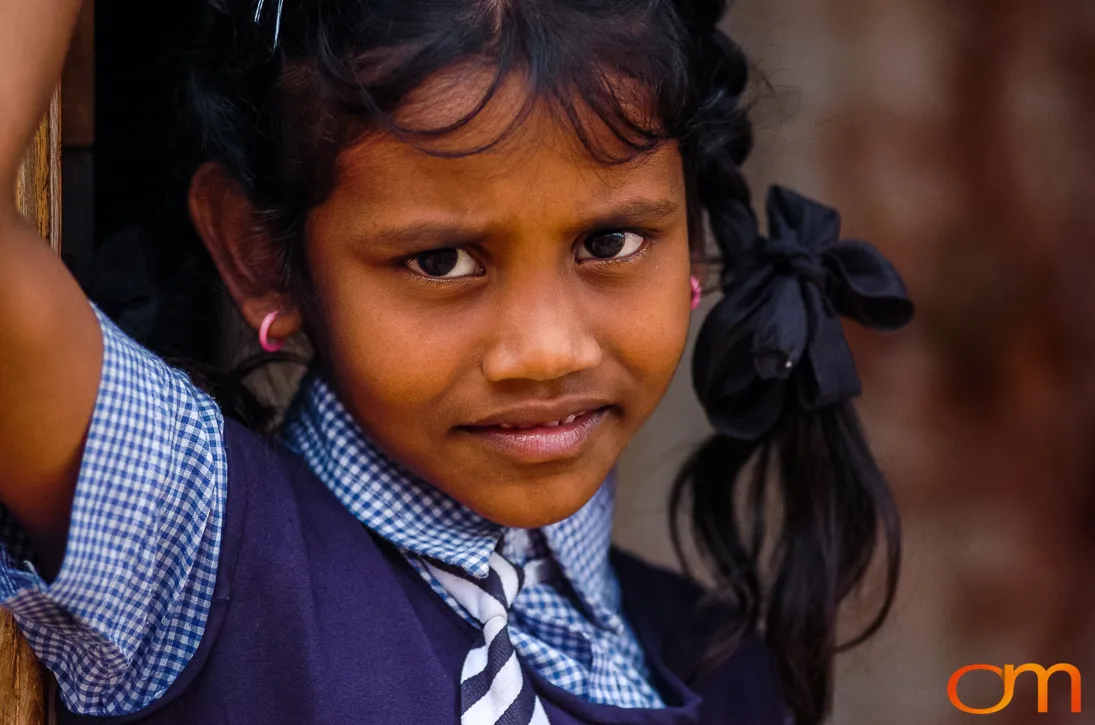
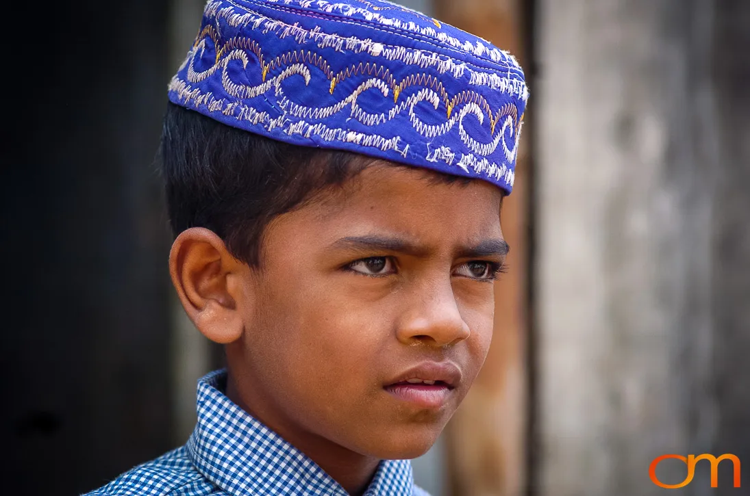
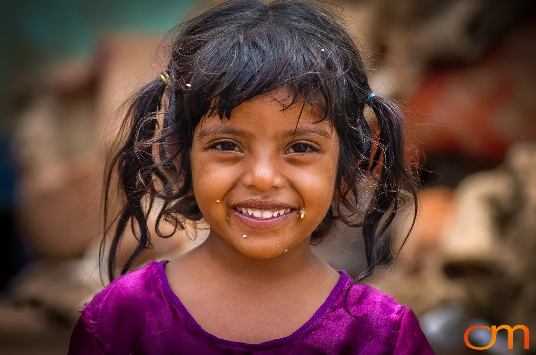
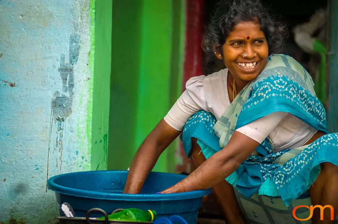
These photographs were made in Bangalore in 2004, before the creation of the expanded BBMP municipal area and a decade before the city was officially renamed Bengaluru. They preserve portraits of people encountered during that period but should not be interpreted as a comprehensive survey of the city’s settlements or living conditions. Without additional field records, the photographs alone cannot establish each person’s residence, occupation, religion, caste, or economic circumstances.
Historical Context
- The city was officially called Bangalore when the photographs were taken in 2004.
- The expanded BBMP municipal authority was established in 2007.
- The city was officially renamed Bengaluru in 2014.
- Population and slum statistics from 2011 cover a larger administrative area than the municipality that existed in 2004.