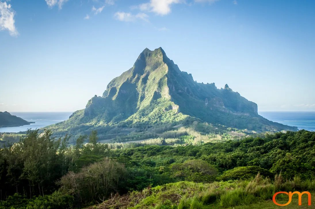
Moorea
Moʻorea: Volcanic Peaks and Ancient Marae
October 2006
Moʻorea is a volcanic high island in the Windward Islands of French Polynesia, approximately 17 kilometers northwest of Tahiti. Its name is commonly translated from Tahitian as “yellow lizard,” referring to a traditional account associated with the island’s naming.
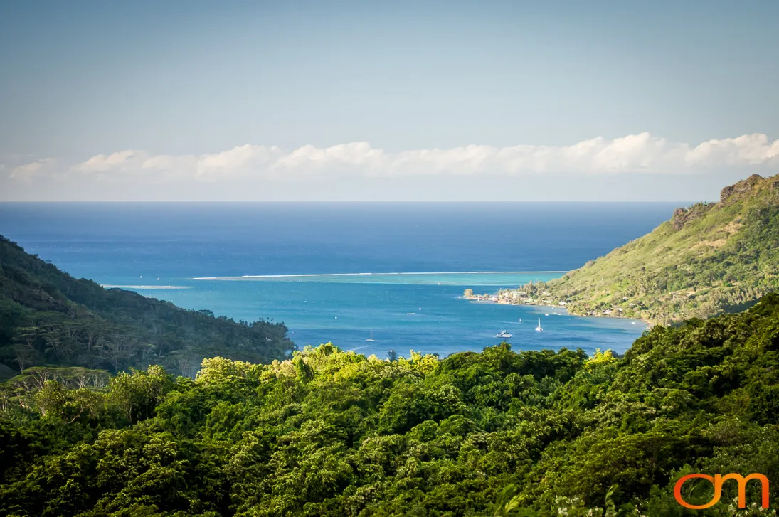
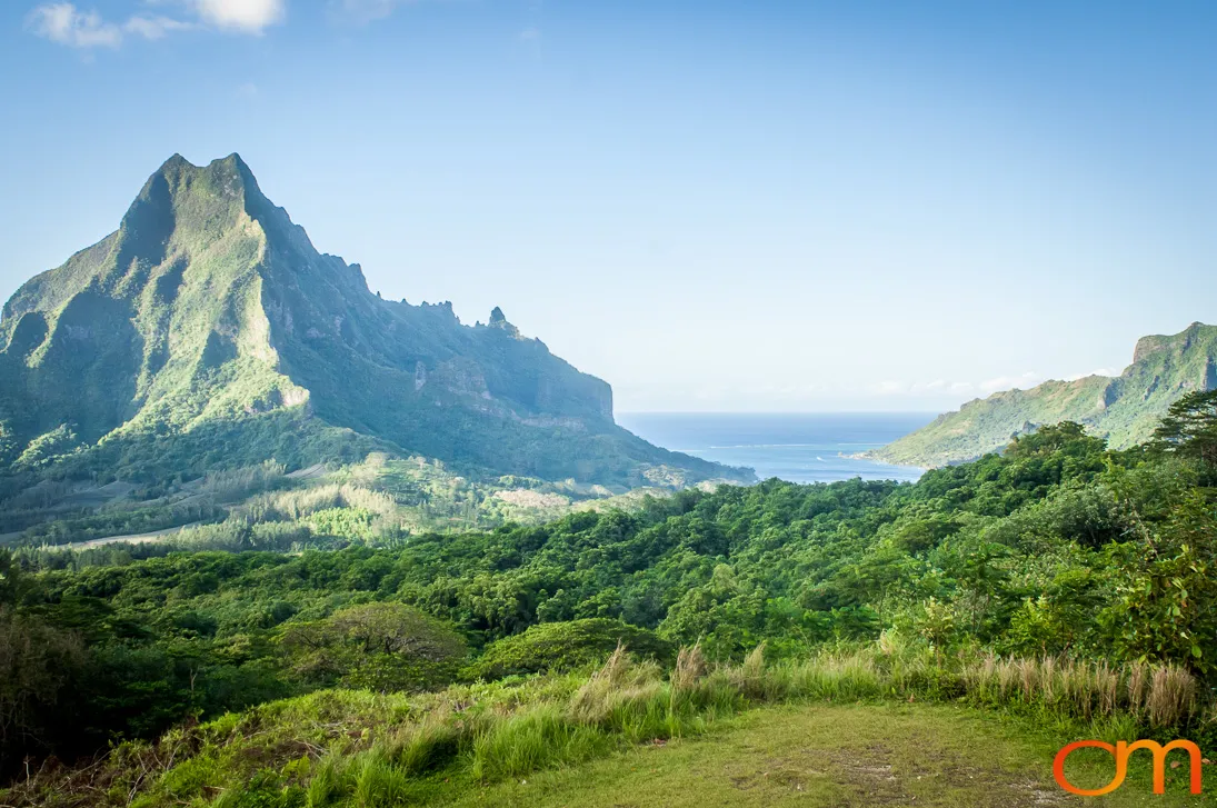
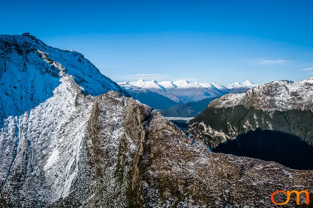
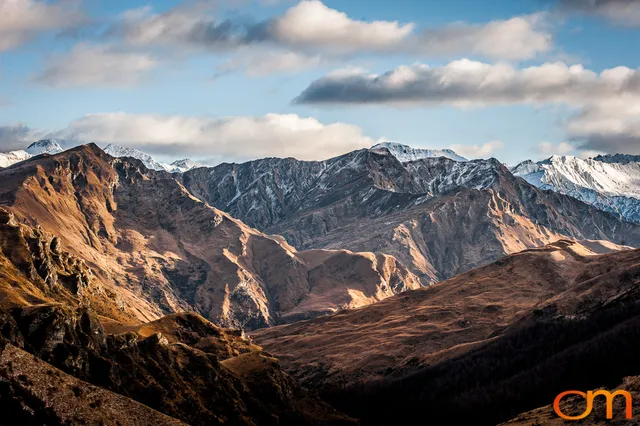
The island was formed through several phases of volcanic activity approximately 1.85 to 1.35 million years ago. Subsequent erosion carved its steep ridges, deep valleys, and prominent peaks. Mount Tohiʻeʻa, rising to 1,207 meters, is the island’s highest point. On the northern coast, Mount Rōtui separates the deep inlets of ʻŌpūnohu Bay and Cook’s Bay.
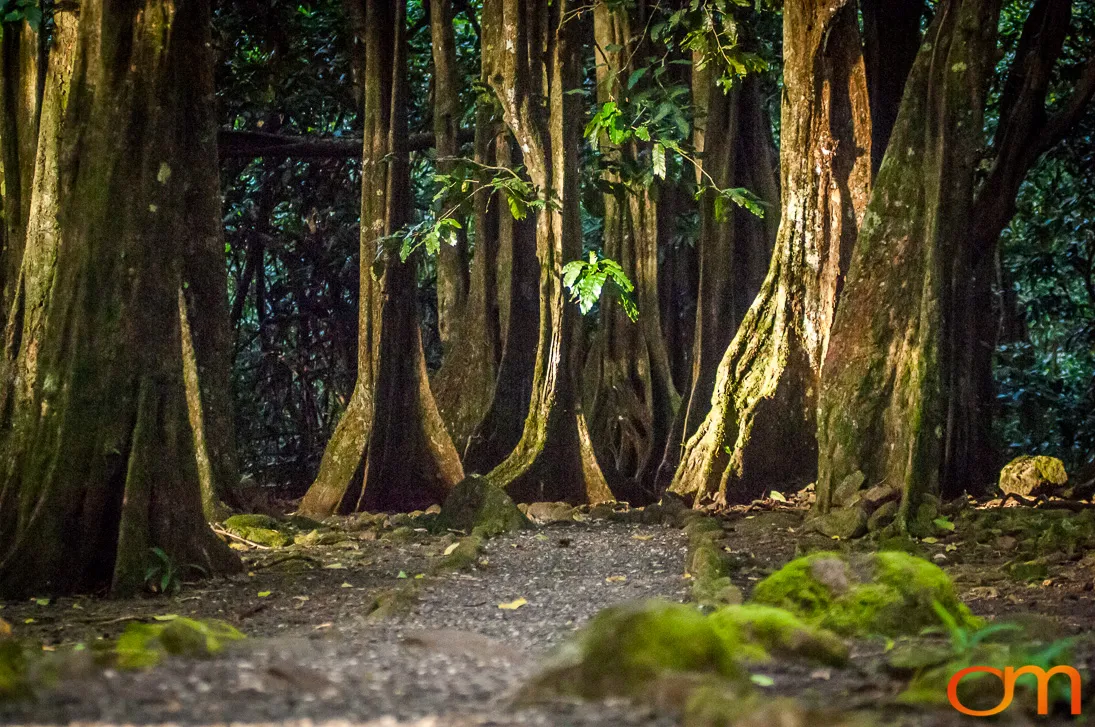
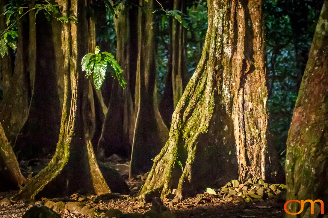
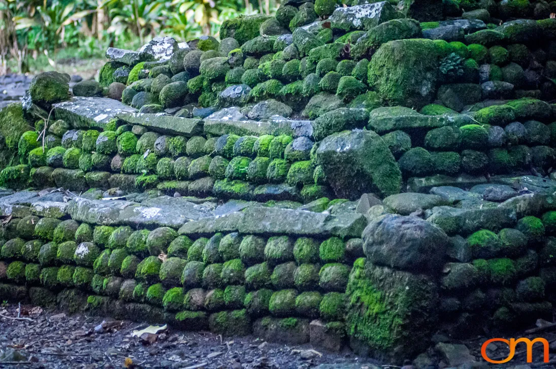
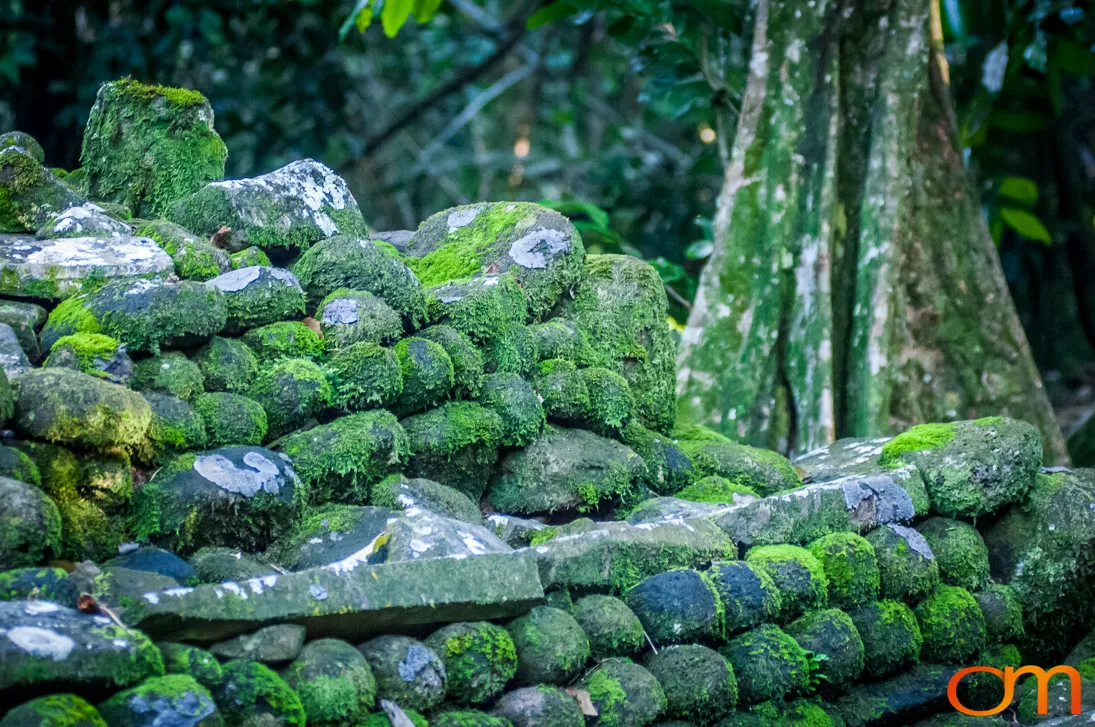
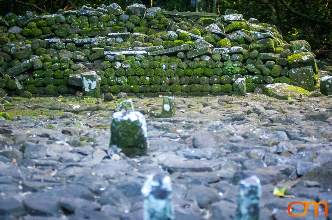
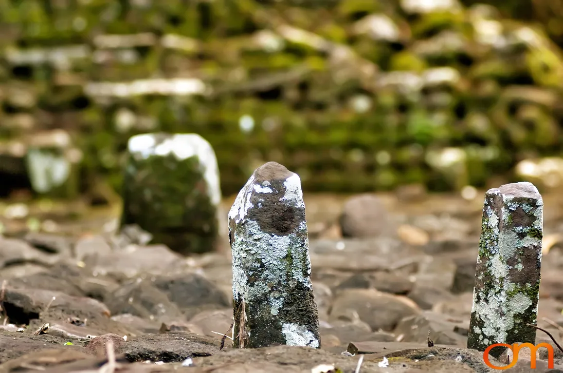
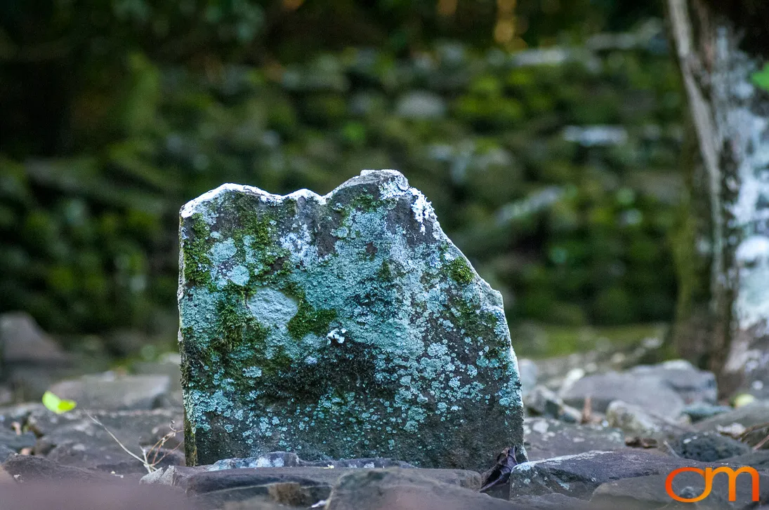
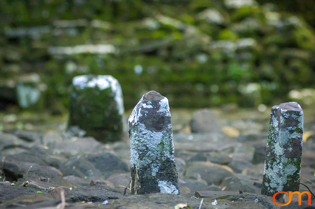
The forested interior preserves extensive evidence of earlier Polynesian settlement. The archaeological landscape of the ʻŌpūnohu Valley includes marae, house foundations, agricultural terraces, archery platforms, and other stone structures. Marae were sacred and ceremonial places that could serve religious, political, genealogical, and community functions. Their features commonly included paved courts, raised platforms, stone enclosures, and upright stones.
Archaeological research indicates that the valley’s landscape developed over centuries as communities expanded agriculture and constructed increasingly complex ceremonial sites. The remaining structures document the social organization, ritual practices, and land use of Moʻorea’s Polynesian communities before sustained European influence.