North Carolina
North Carolina’s Outer Banks
February 2015
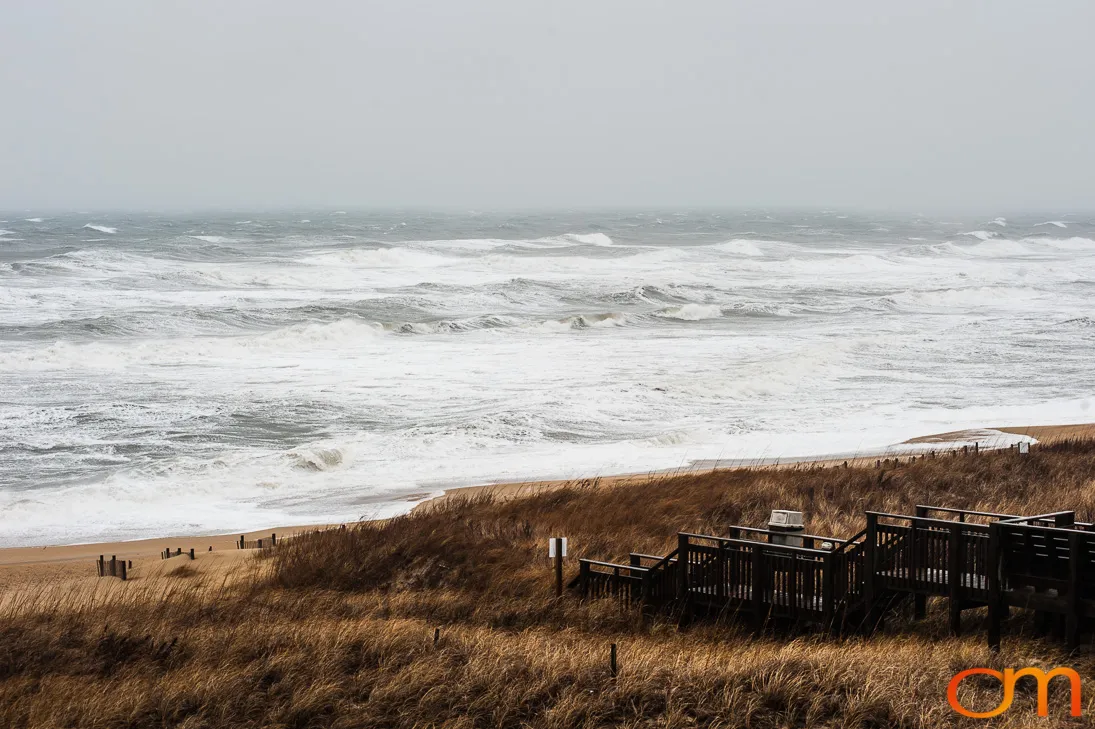
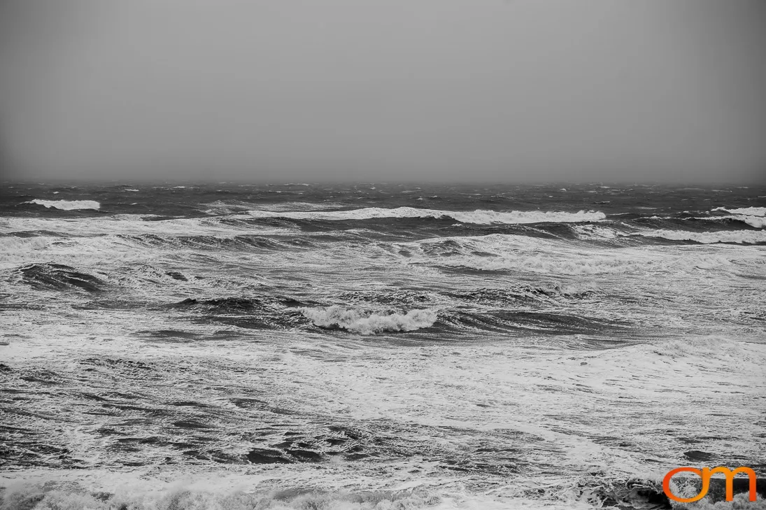
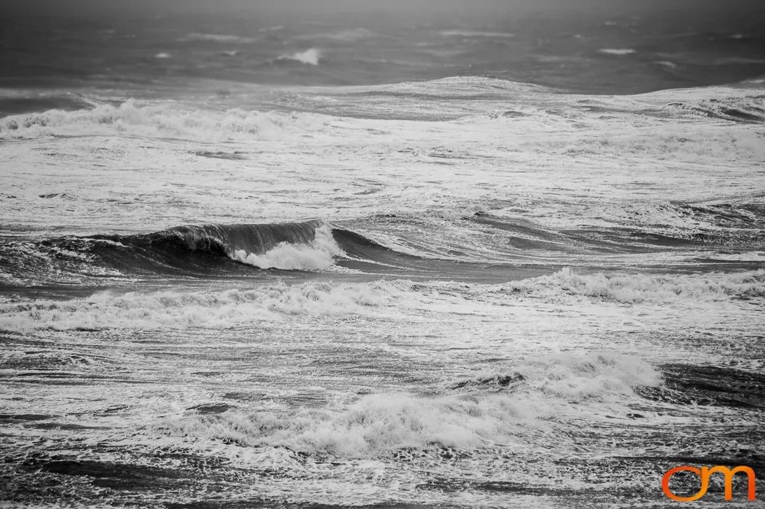
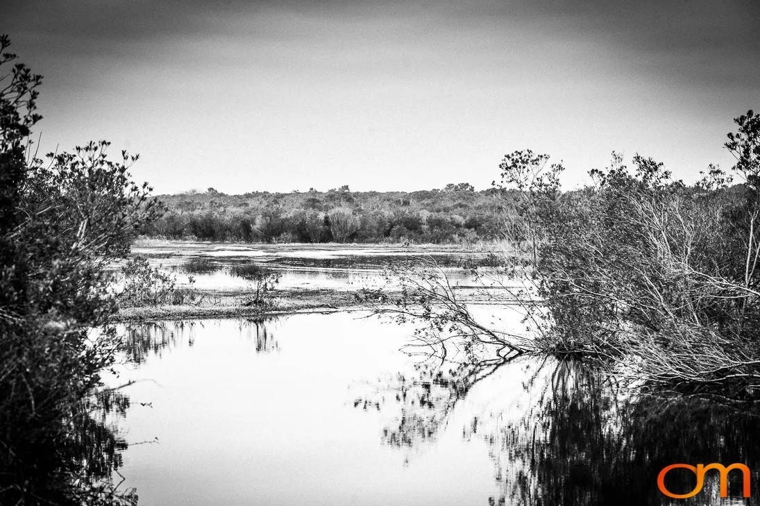
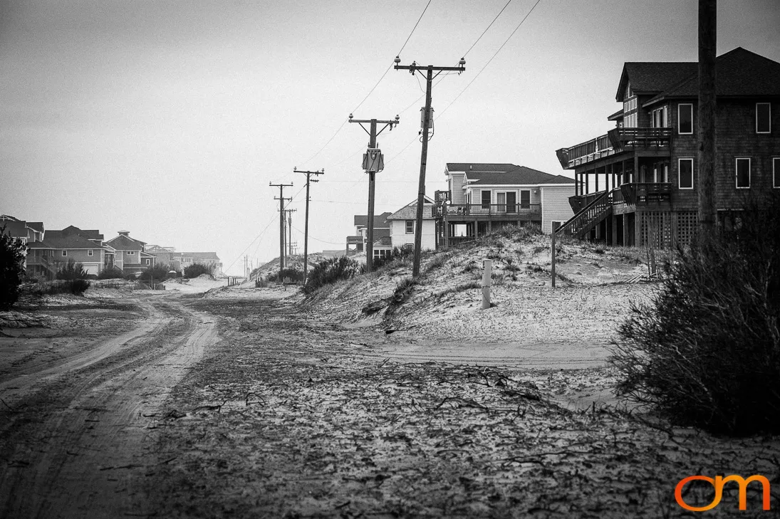
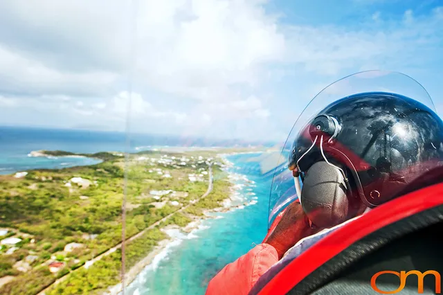
The Outer Banks are a narrow, broken chain of barrier islands along North Carolina’s Atlantic coast. Ocean beaches face the open Atlantic, while sounds, marshes, dunes, and maritime forests occupy the mainland side. These low, sandy islands are continually reshaped by wind, waves, currents, storm surge, and sea-level change. Shallow shoals and severe storms also contributed to hundreds of shipwrecks in waters known as the “Graveyard of the Atlantic.”
In Corolla, the unpainted red-brick Currituck Beach Lighthouse was built to mark a previously unlighted section of coast and was first illuminated on December 1, 1875. The tower stands 162 feet (49 m) high, and 220 steps lead to the top.
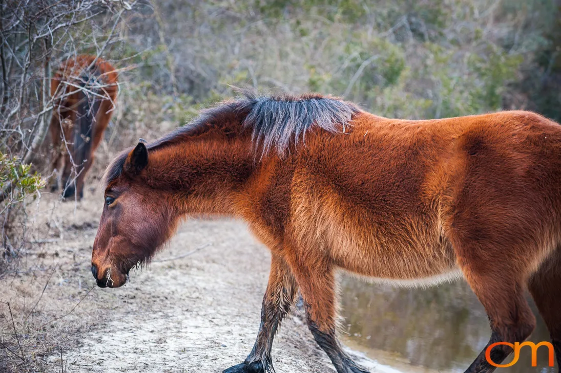
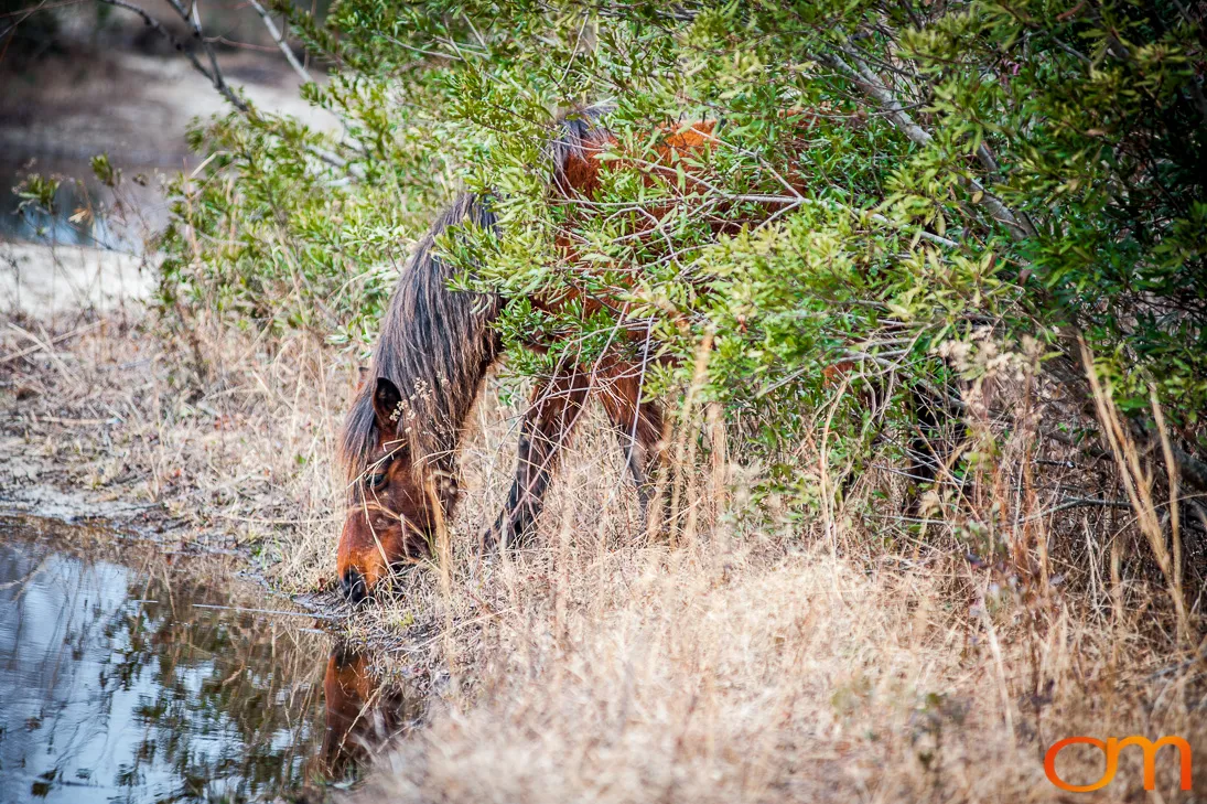
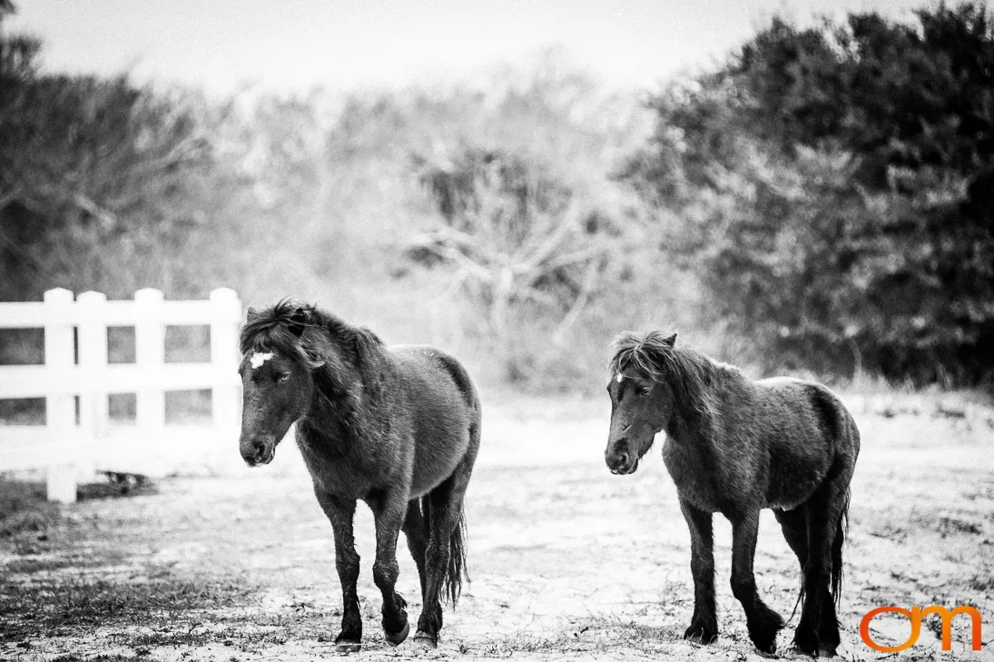
Free-roaming Banker horses survive in several separate herds along the Outer Banks. The northern Corolla herd ranges across beaches, dunes, marshes, maritime forest, and developed areas. Its natural diet consists of native plants and grasses. Management is coordinated through the Corolla Wild Horse Fund, Currituck County, and partner agencies. Feeding the horses or approaching within 50 feet (15 m) is prohibited.