Paro
Paro, Bhutan
December 2010
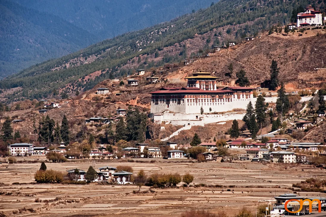
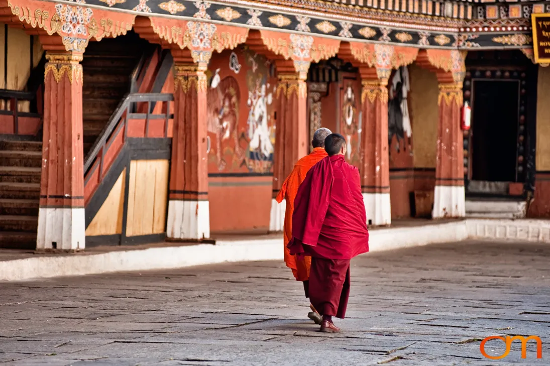
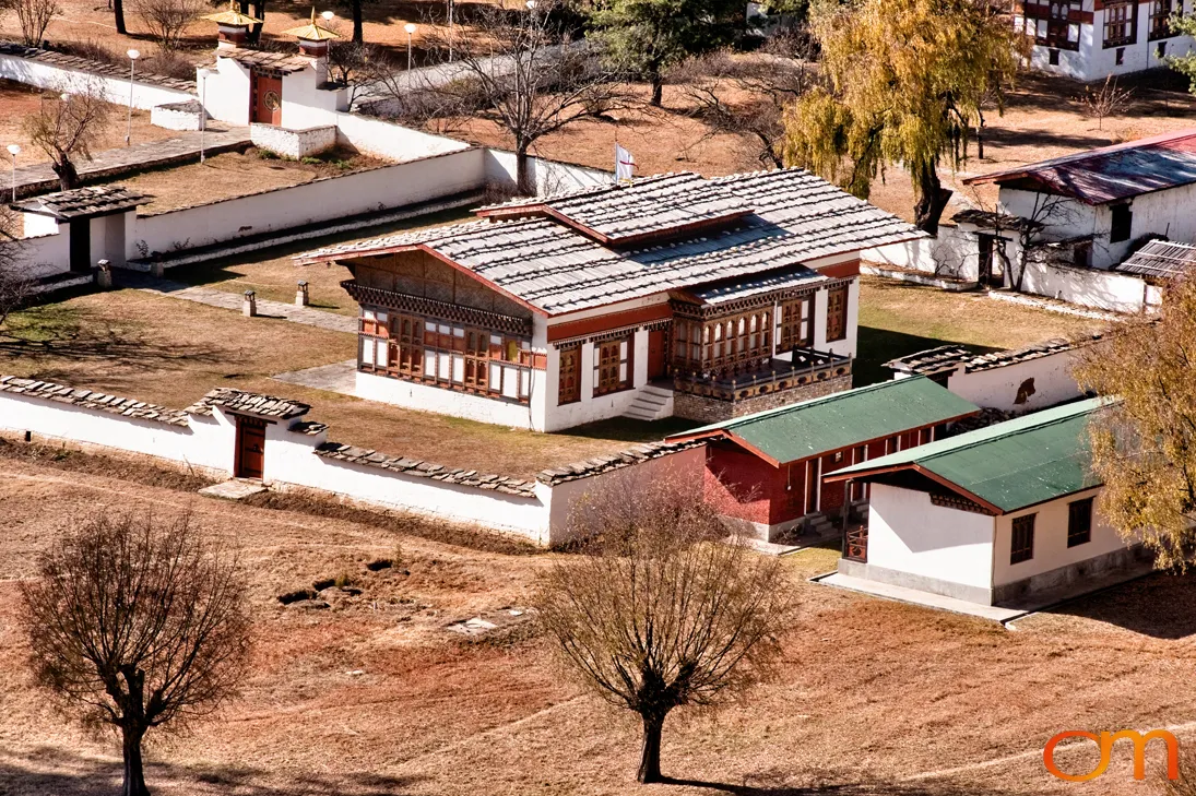
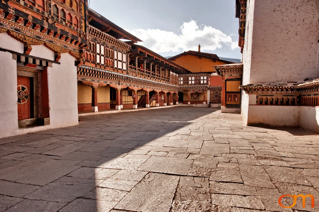
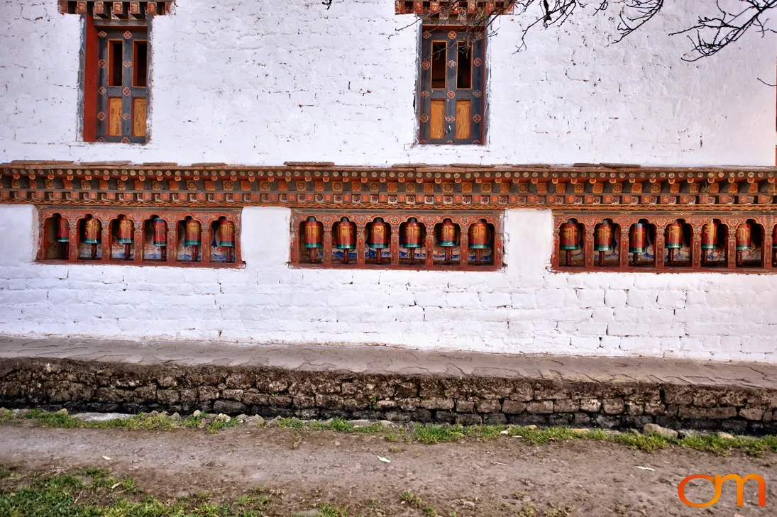
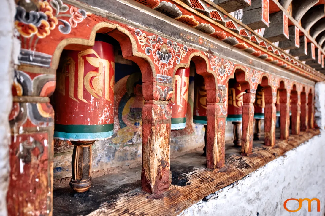
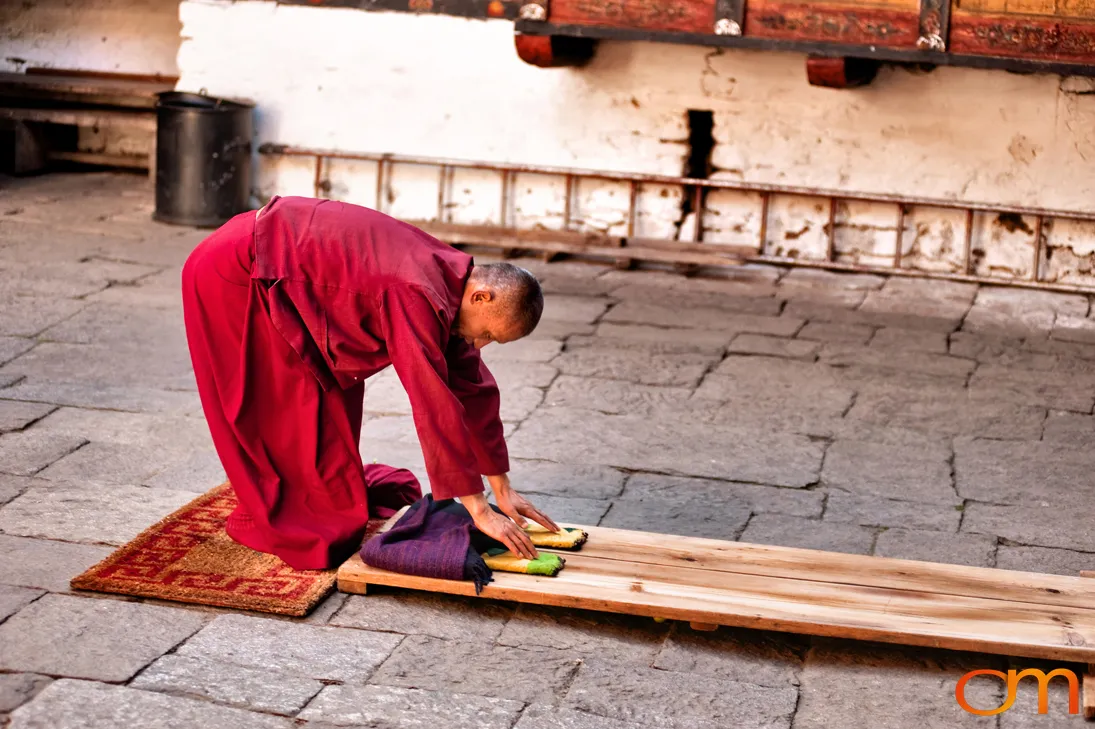
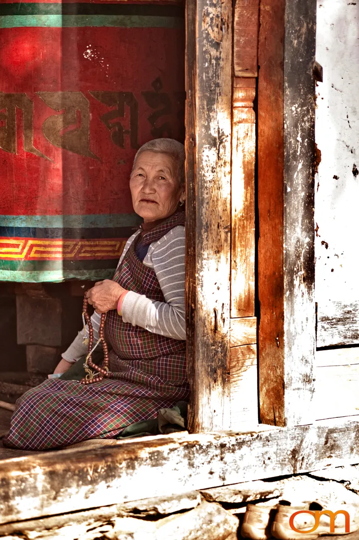
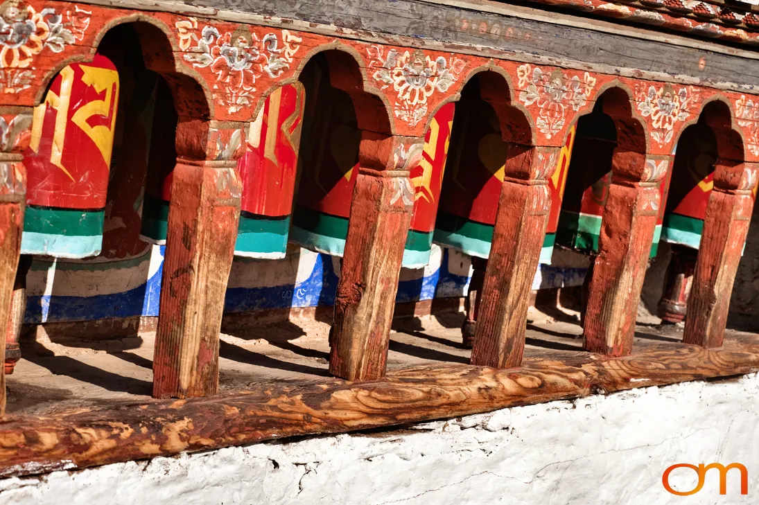
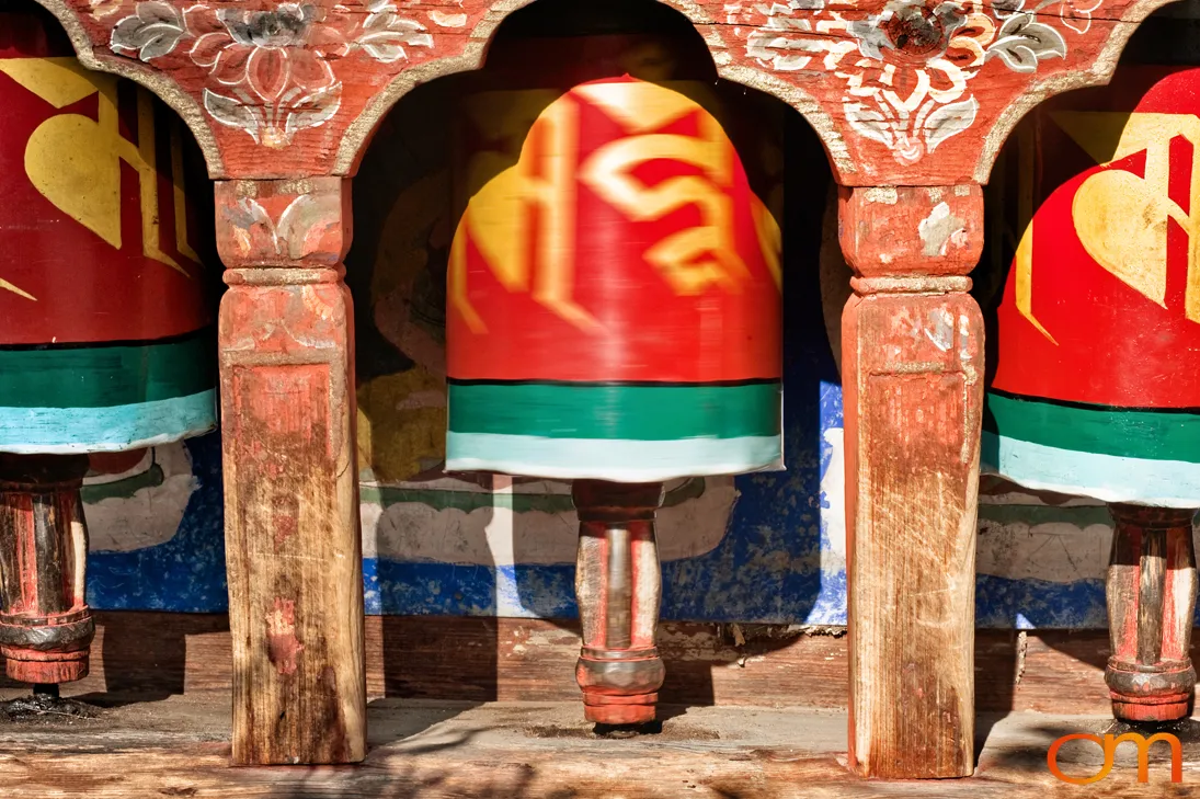
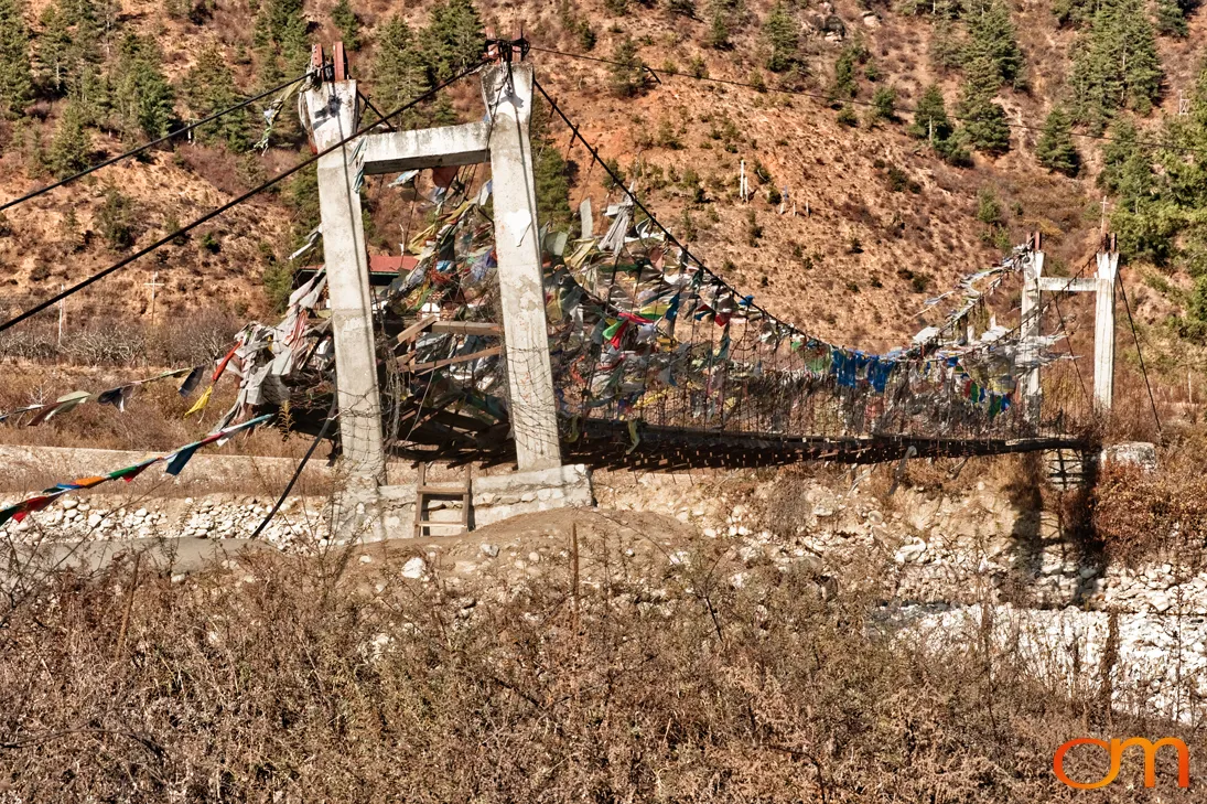
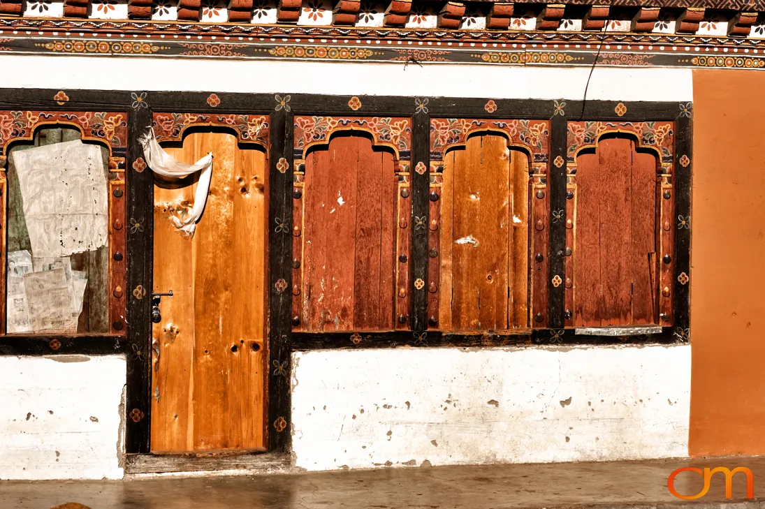
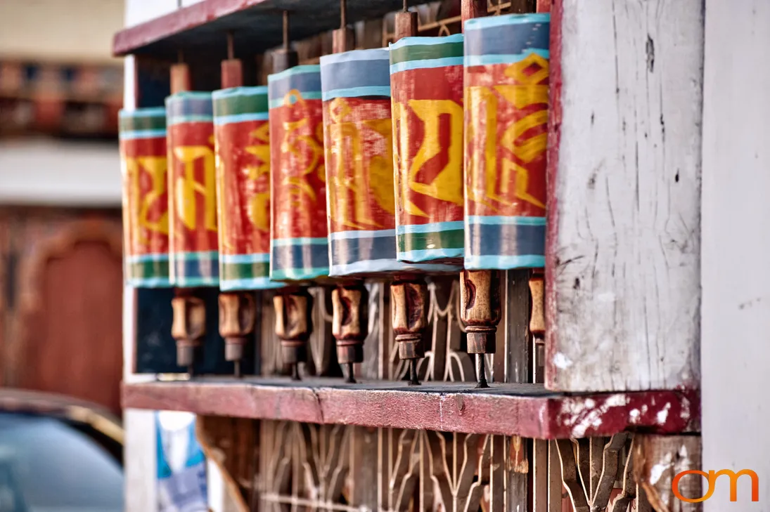
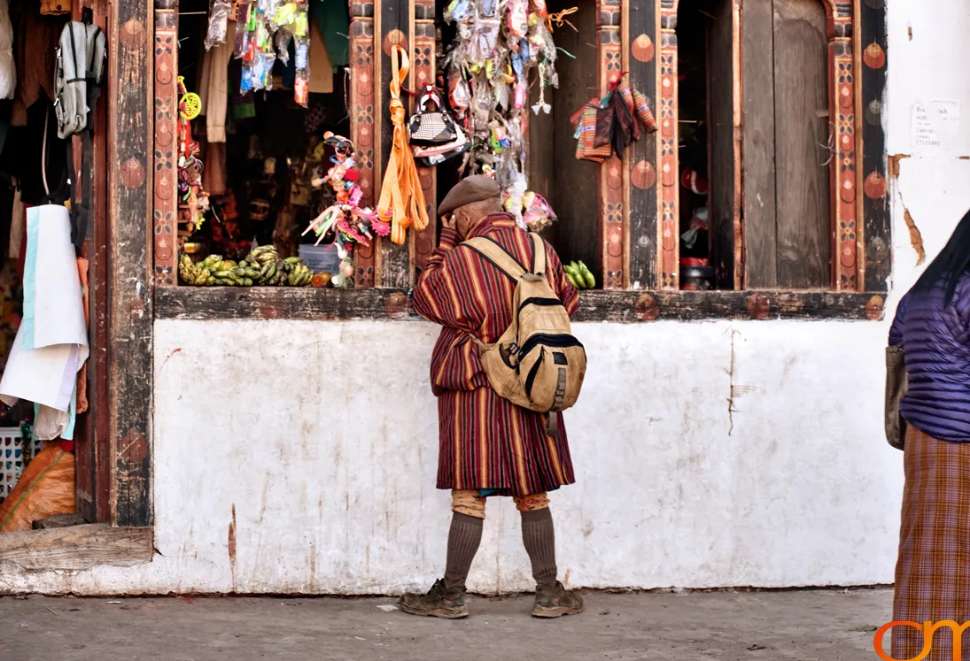
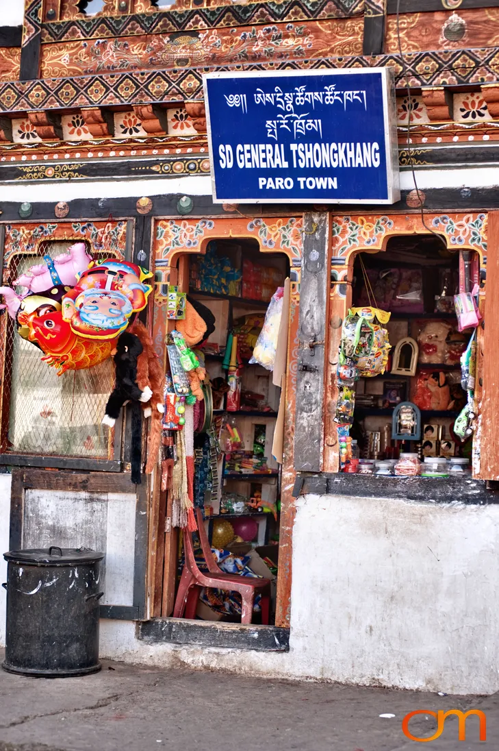
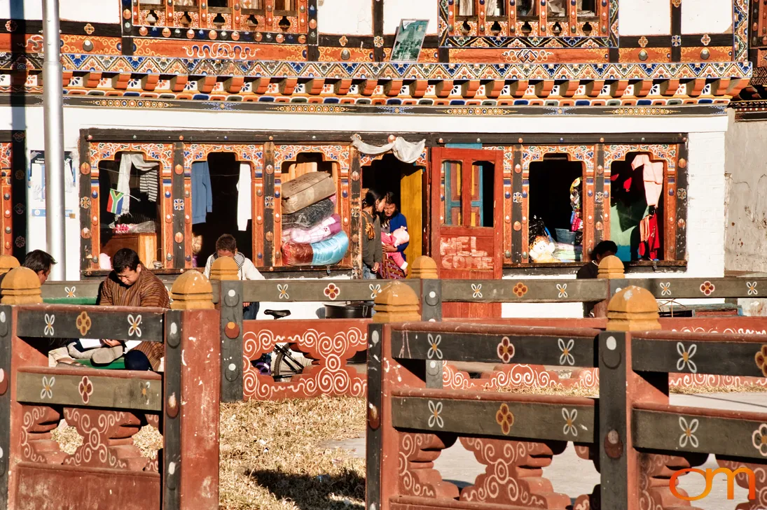
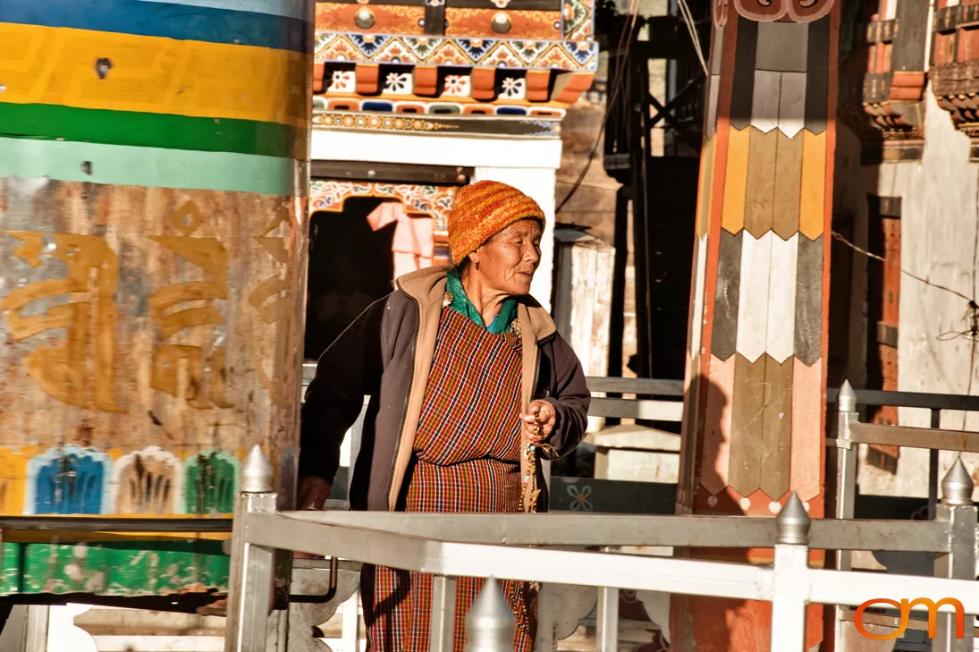
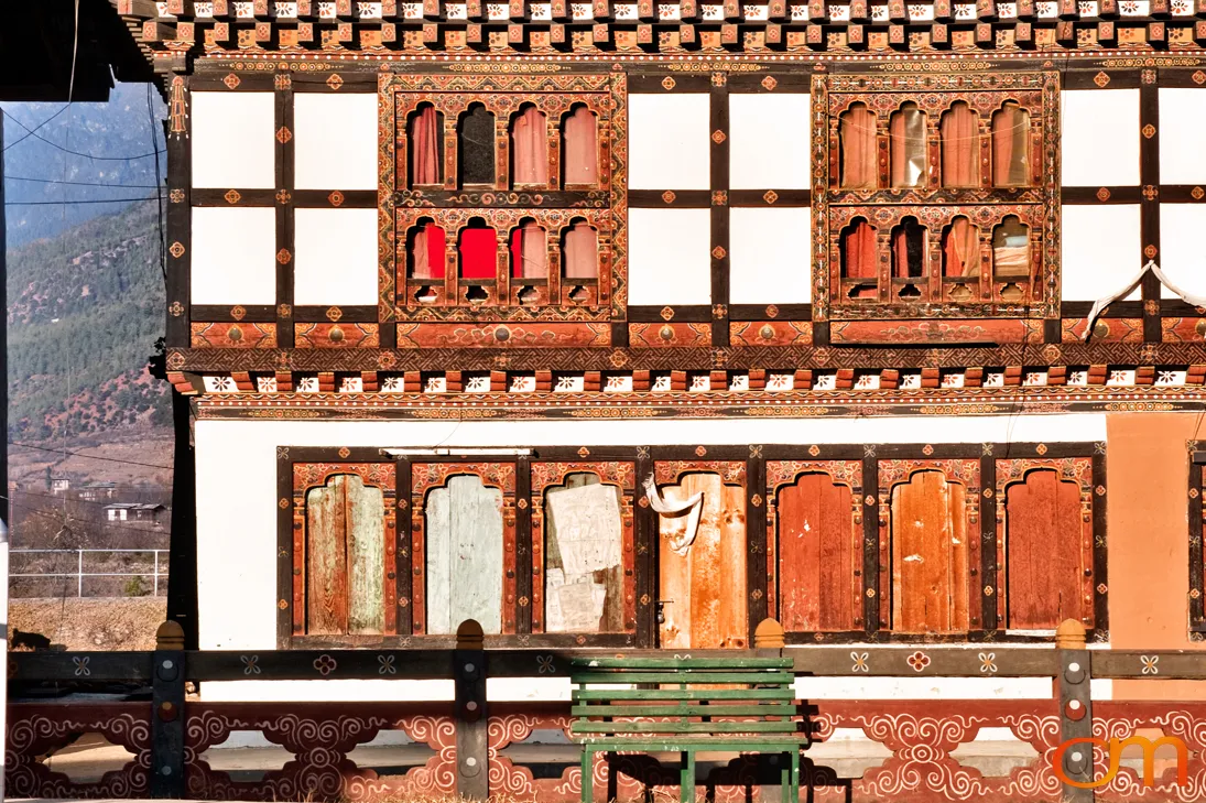
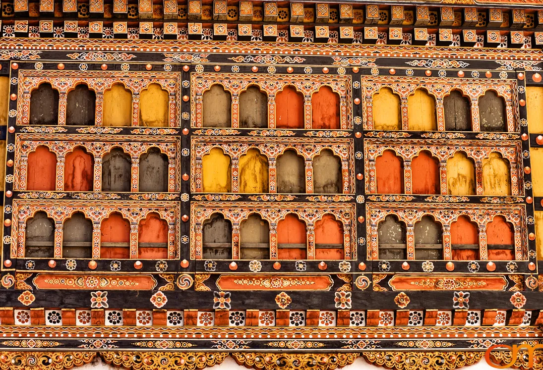
Paro lies along the Paro Chhu in western Bhutan at approximately 7,380 feet (2,250 meters) above sea level. Paro International Airport, located a few kilometers from the town, is Bhutan’s principal international air gateway. The town and surrounding valley contain traditional Bhutanese shop houses, residences, temples, and religious-administrative complexes. The photographs taken in 2010 document painted timberwork, prayer wheels, monastic activity, shops, and everyday life in and around Paro.
Rinpung Dzong, also known as Paro Dzong, stands above the river. Its full name, Rinchen Pung Dzong, is commonly translated as “Fortress on a Heap of Jewels.” Built in 1646, the dzong became an important center of religious and administrative authority in western Bhutan. It continues to house the Paro district monastic body, temples, and government offices.
Above Rinpung Dzong stands Ta Dzong, a circular watchtower built in 1649 by La Ngonpa Tenzin Drugdra, the first Paro Penlop, to protect the fortress below. The tower was later converted into Bhutan’s first national museum and opened to the public in 1968. Its collections interpret Bhutan’s religious, artistic, cultural, and natural history.
Developments Since the Photographs Were Taken
The photographs predate the September 2011 earthquake that extensively damaged Ta Dzong. Restoration began in 2014, and the National Museum reopened on 24 June 2020. In 2012, Rinpung Dzong was included with four other Bhutanese dzongs on Bhutan’s UNESCO World Heritage Tentative List.