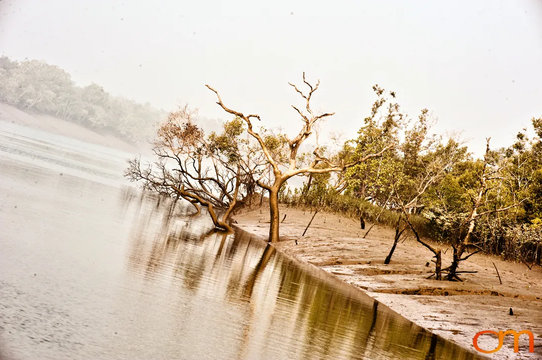
Sundarbans
The Indian Sundarbans: Mangrove Forests and Tidal Islands
January 2011
The Sundarbans are a transboundary tidal landscape at the mouth of the Ganges-Brahmaputra-Meghna river system, extending across West Bengal, India, and southwestern Bangladesh. Covering roughly 10,000 square kilometers of land and water, the region contains the world’s largest area of mangrove forest. Its low-lying islands, mudflats, estuaries, and branching waterways are continually reshaped by tides, erosion, and sediment deposition.
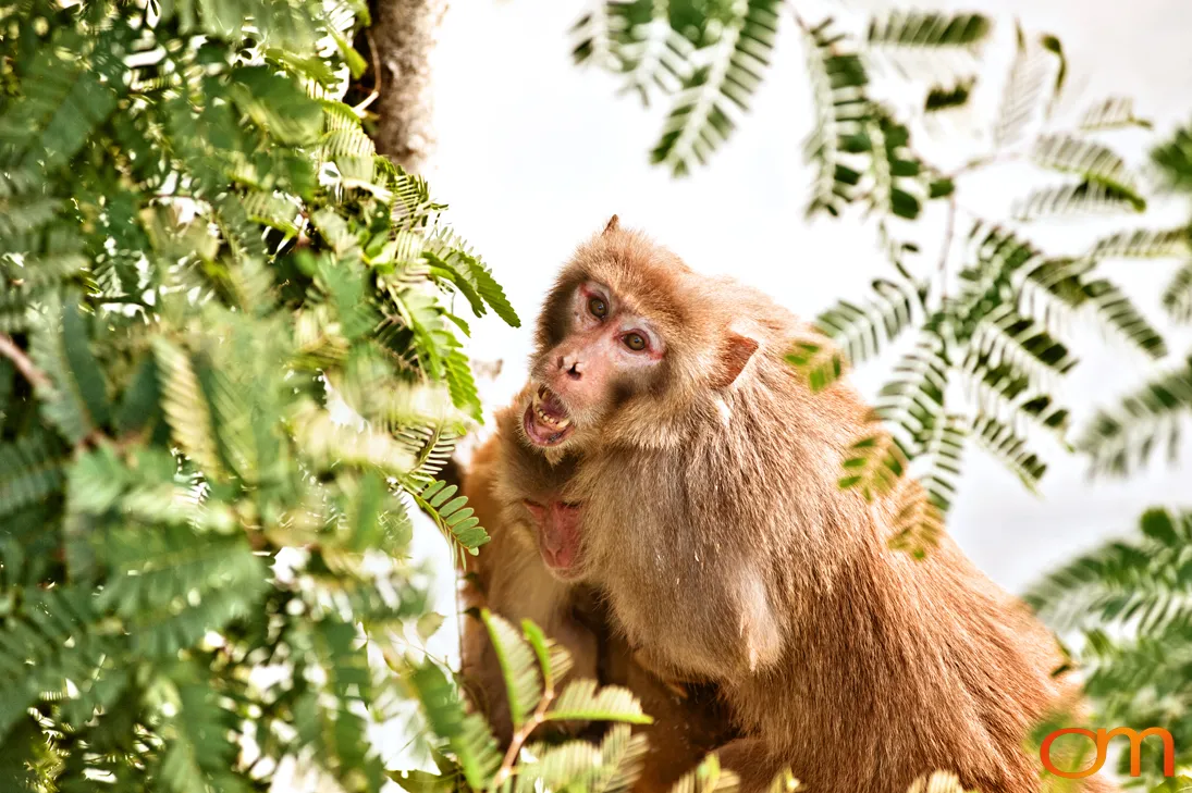
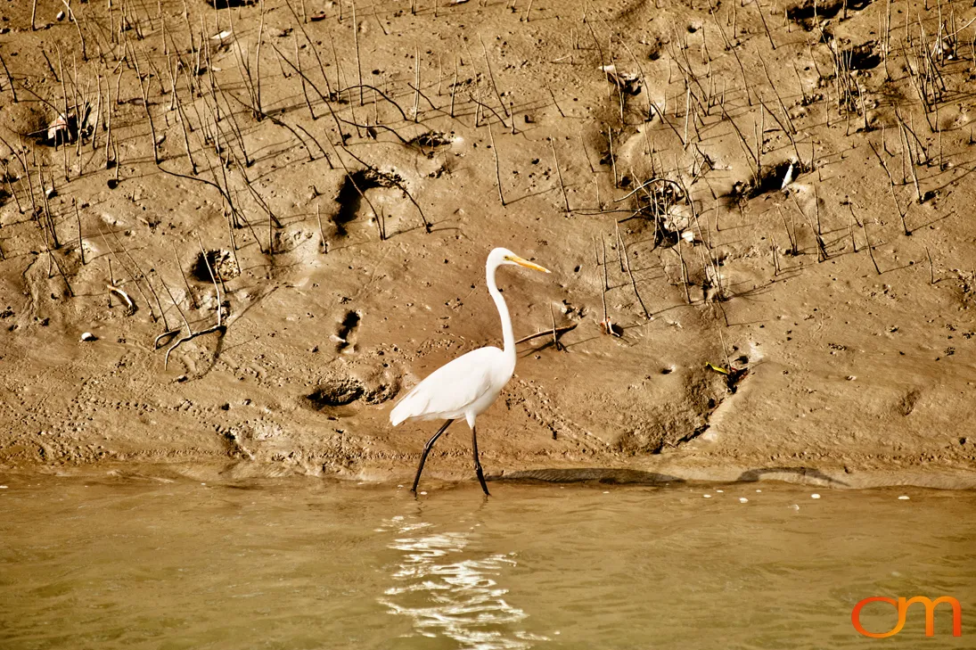
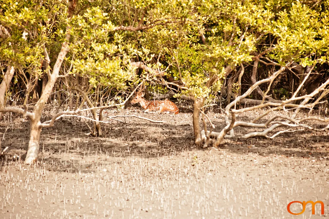
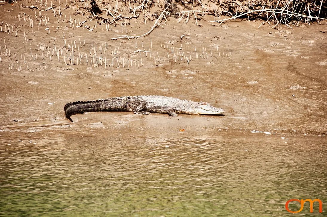
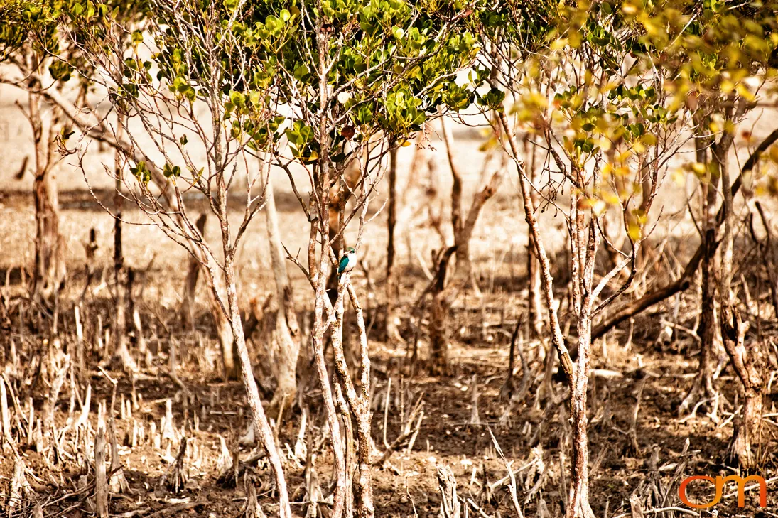
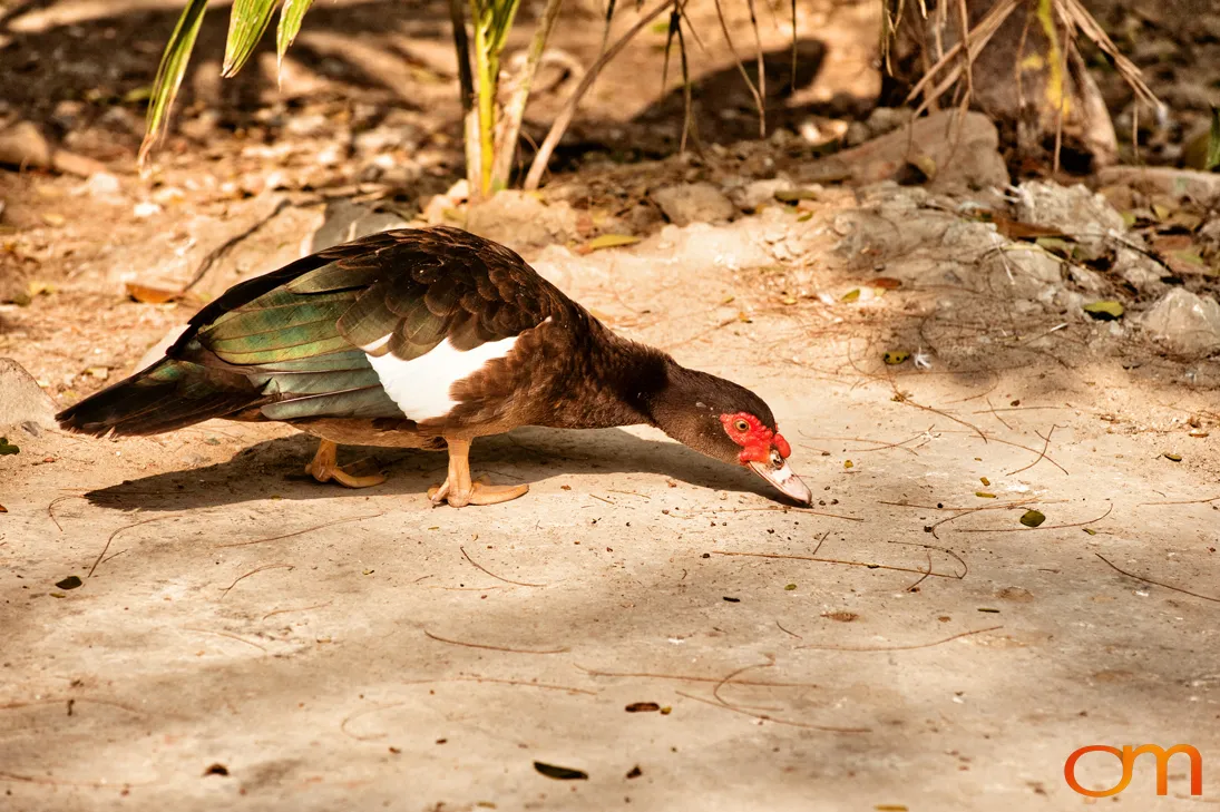
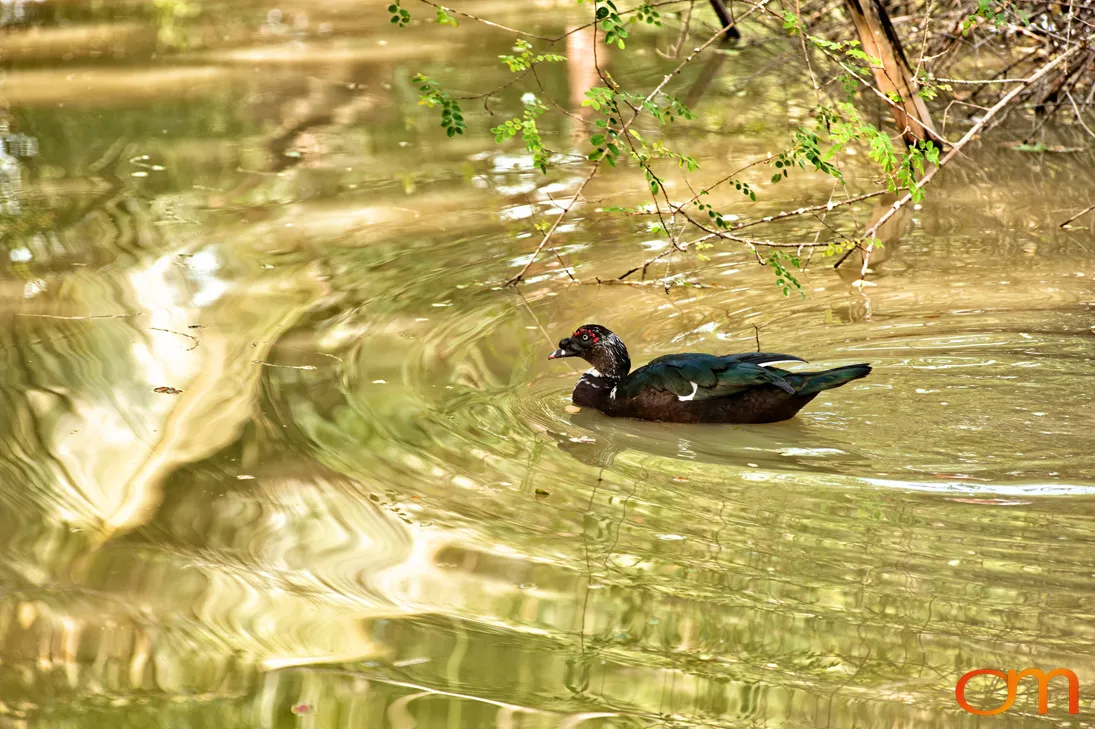
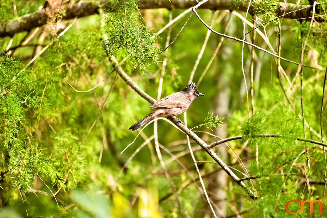
On the Indian side, Sundarbans National Park covers approximately 1,330.1 square kilometers and forms the protected core of the larger Sundarban Tiger Reserve and Biosphere Reserve. The national park was inscribed as a UNESCO World Heritage Site in 1987. It protects the world’s only mangrove habitat occupied by Bengal tigers (Panthera tigris tigris), which are capable swimmers and may feed on fish, crabs, and water monitor lizards. The ecosystem also supports Ganges and Irrawaddy dolphins, estuarine crocodiles, spotted deer, river terrapins, marine turtles, and diverse resident and migratory birdlife.
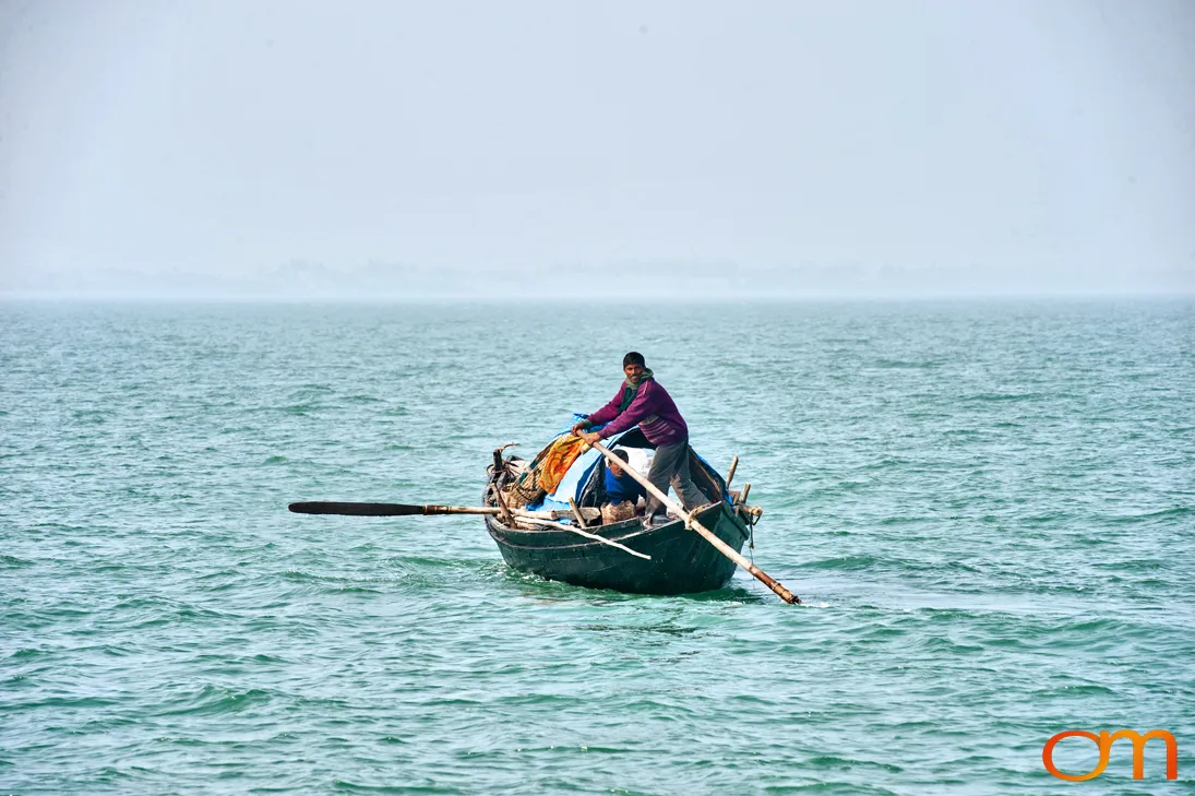
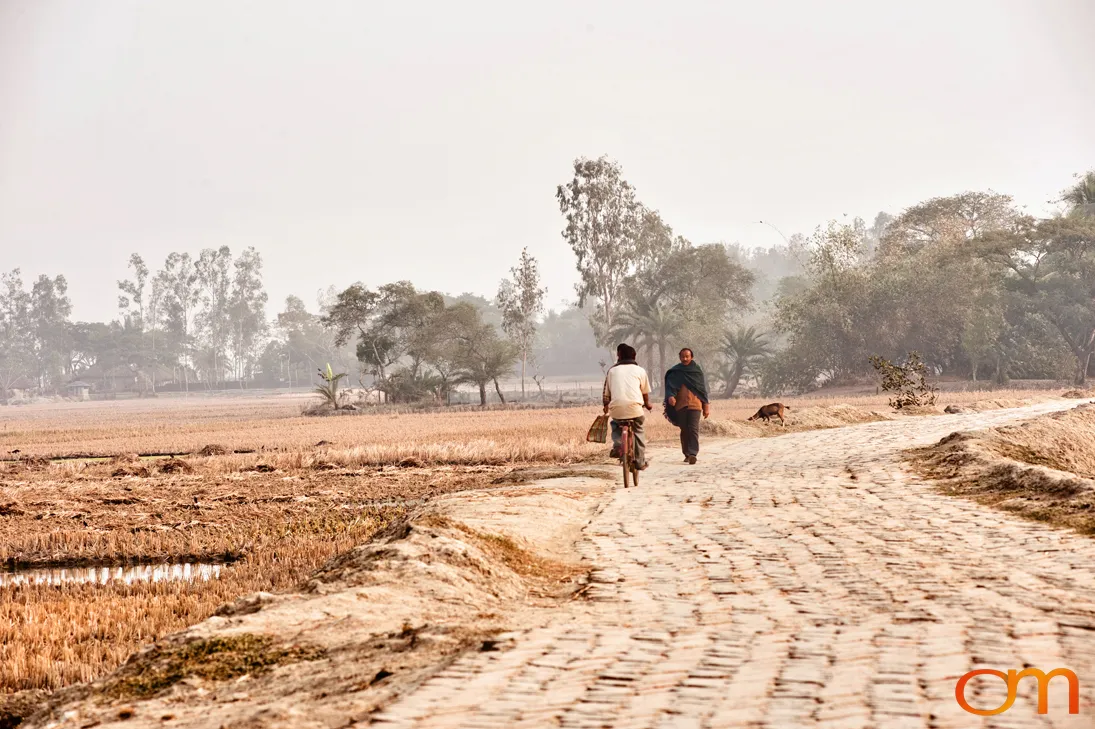
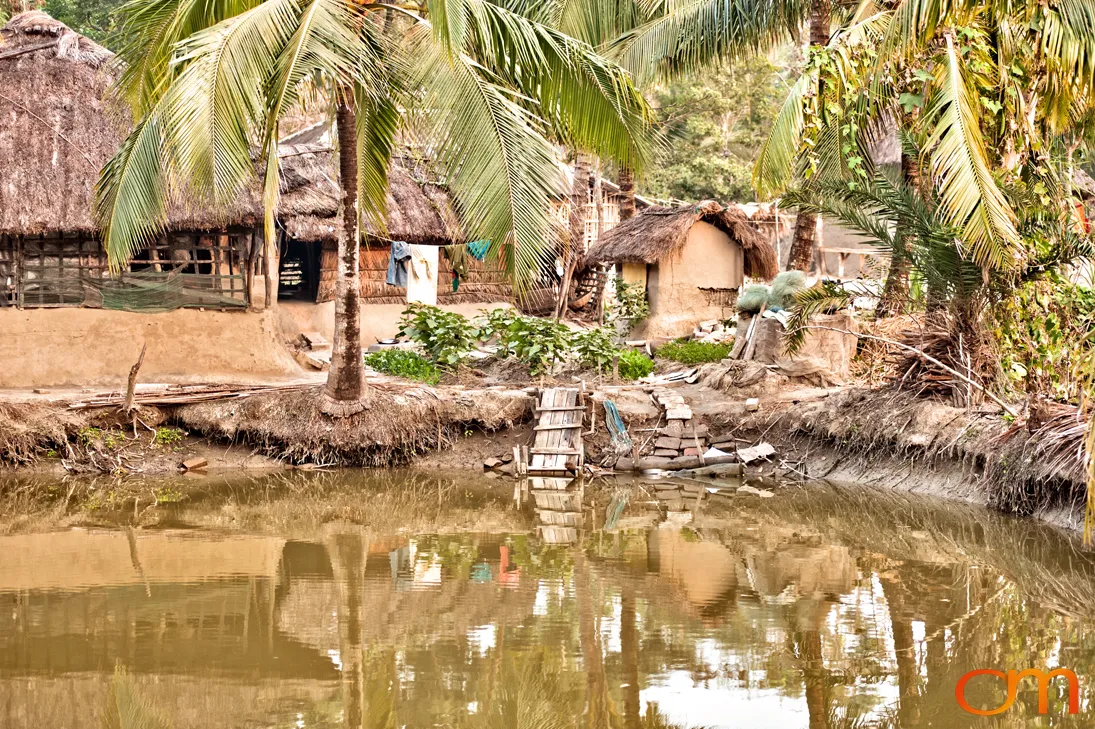
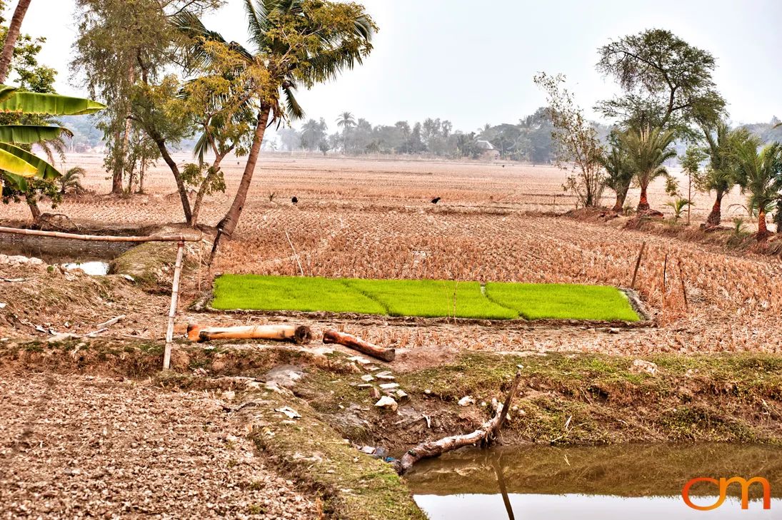
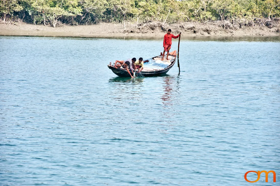
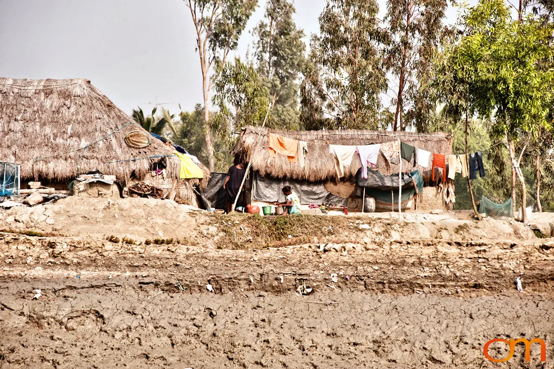
Mangroves stabilize shorelines, trap sediment, provide nursery habitat for aquatic species, and help buffer coastal communities from cyclones and storm surges. Beyond the national park, the wider Indian Sundarbans include inhabited islands, farms, fishing grounds, villages, and working waterways. Photographed in 2011, this collection documents both the protected mangrove ecosystem and the human landscape surrounding it.