Arizona
The Grand Canyon
September 2013
The Grand Canyon extends approximately 278 river miles (447 kilometers) through northern Arizona. It reaches up to 18 miles (29 kilometers) across and approximately 6,000 feet (1,829 meters) deep. The Colorado River and its tributaries cut through the Colorado Plateau, exposing rock formations as old as approximately 1.8 billion years. The canyon itself is much younger: most of its excavation occurred during the past five to six million years, although its geological development remains an active subject of research.
Grand Canyon National Park protects approximately 1,218,375 acres, or 1,904 square miles (4,931 square kilometers). Established as a national park in 1919, it was inscribed as a UNESCO World Heritage Site in 1979 for its geological record, erosional landforms, and ecological diversity. The UNESCO designation applies specifically to the national park rather than to the entire Grand Canyon region.
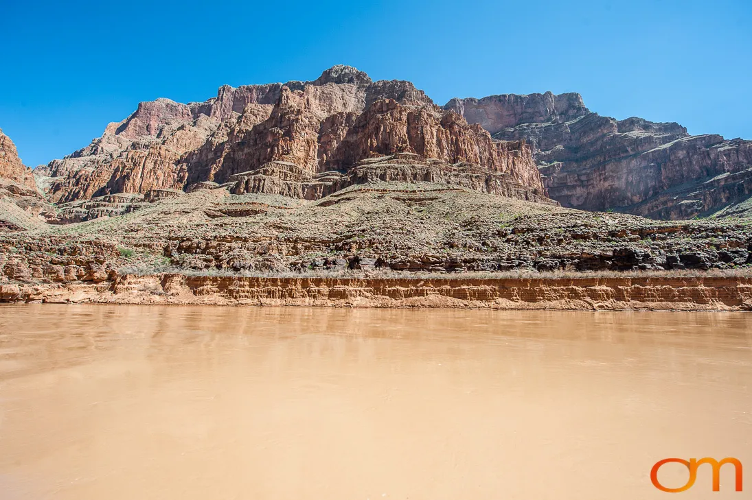
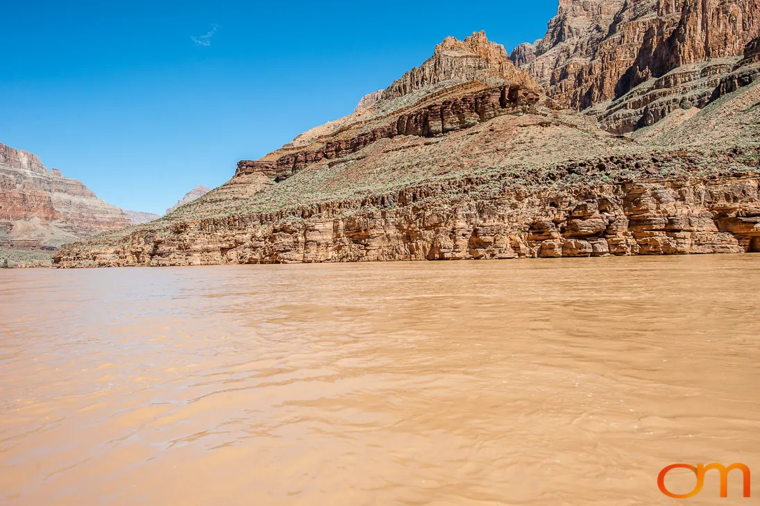
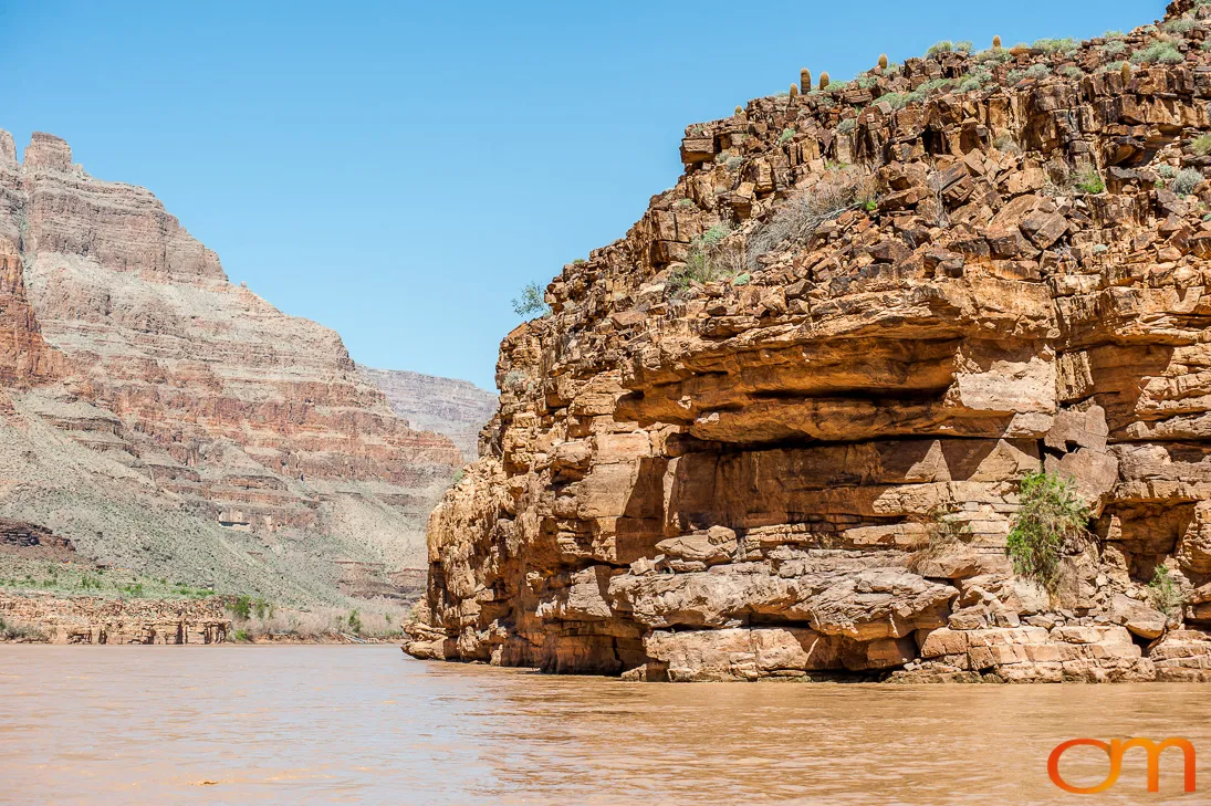
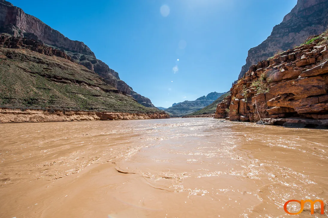
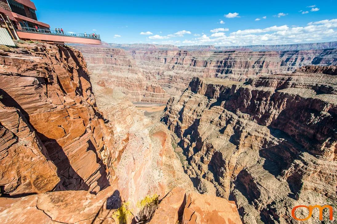
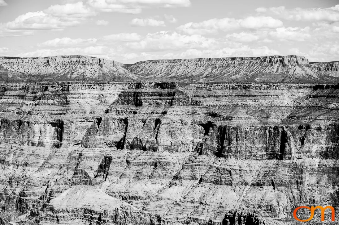
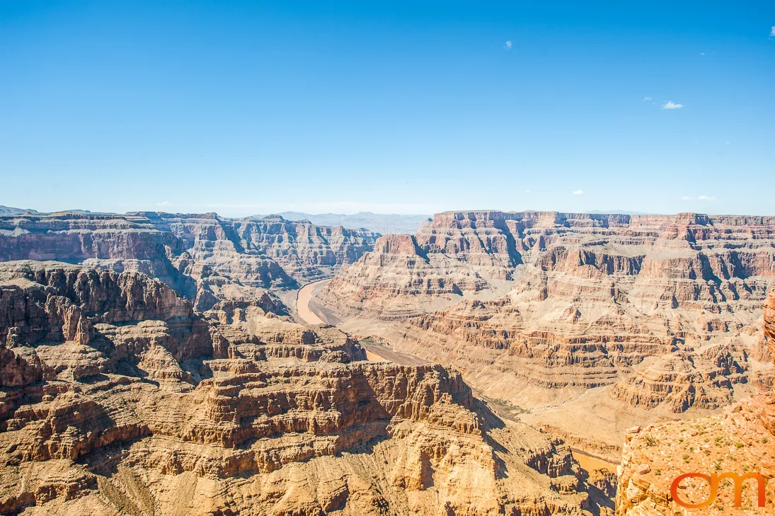
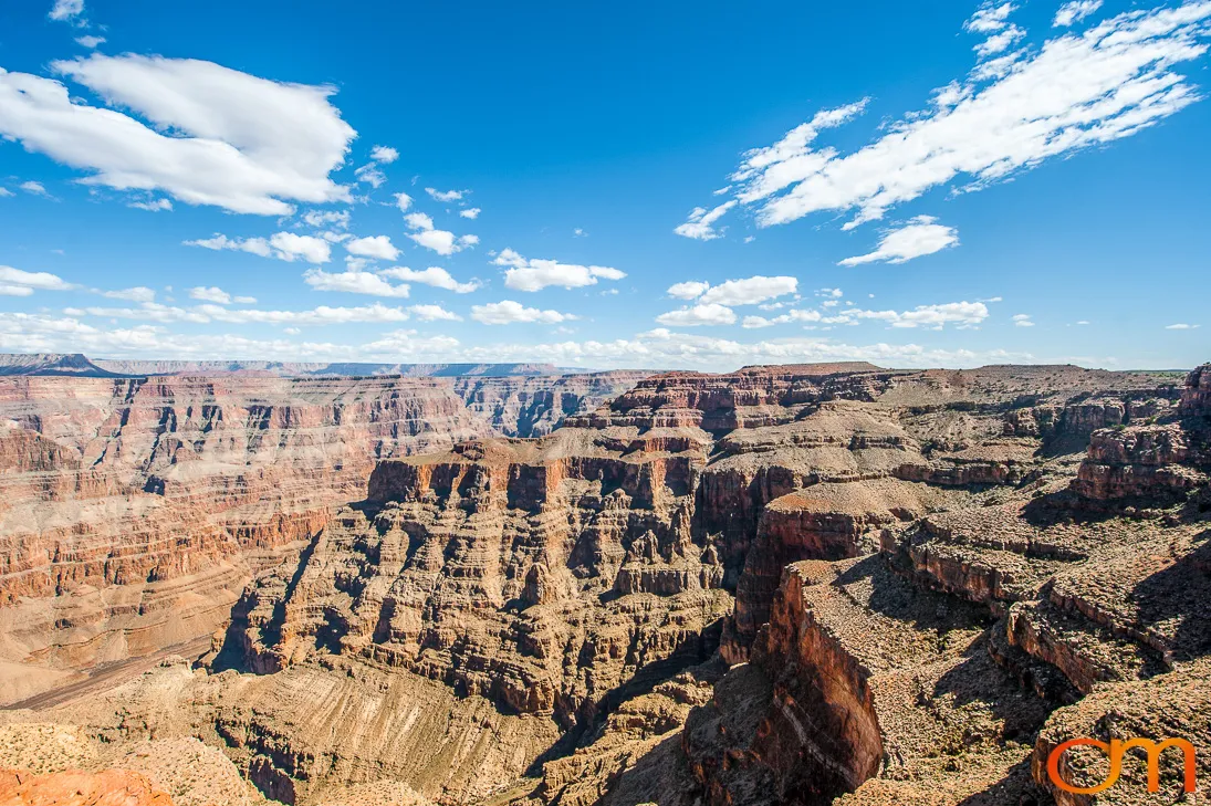
The canyon is also an enduring Indigenous cultural landscape. Eleven Associated Tribes maintain historical, cultural, and spiritual connections to lands and resources within the park. These 2013 photographs document the canyon from the air, river level, and rim, showing the relationship between the Colorado River, exposed rock layers, and the surrounding plateau.