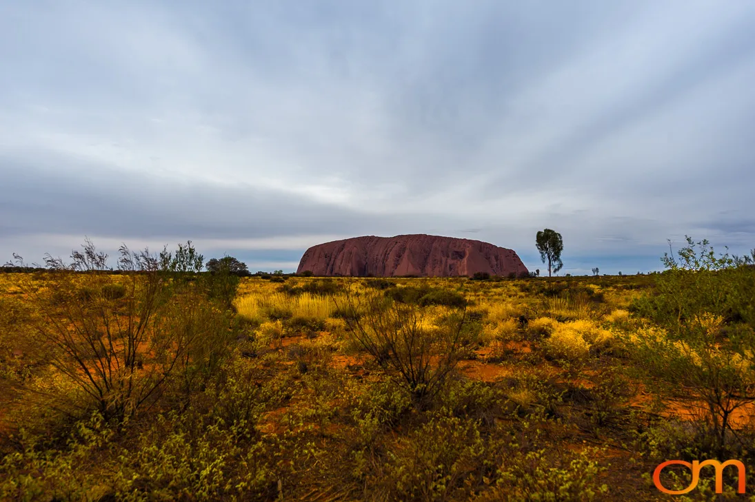
Uluru
Uluṟu–Kata Tjuṯa National Park
May 2015
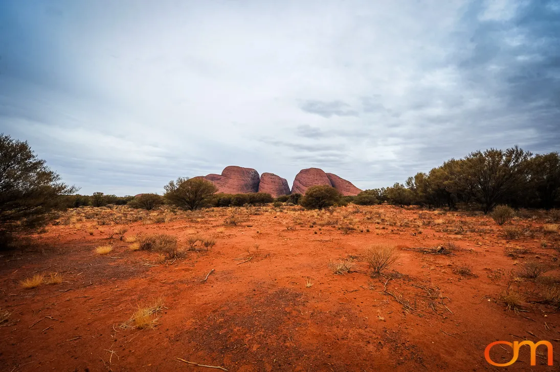
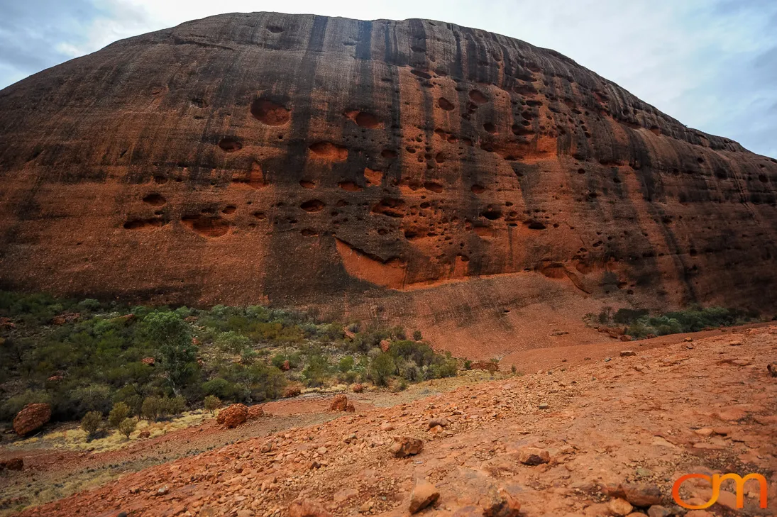
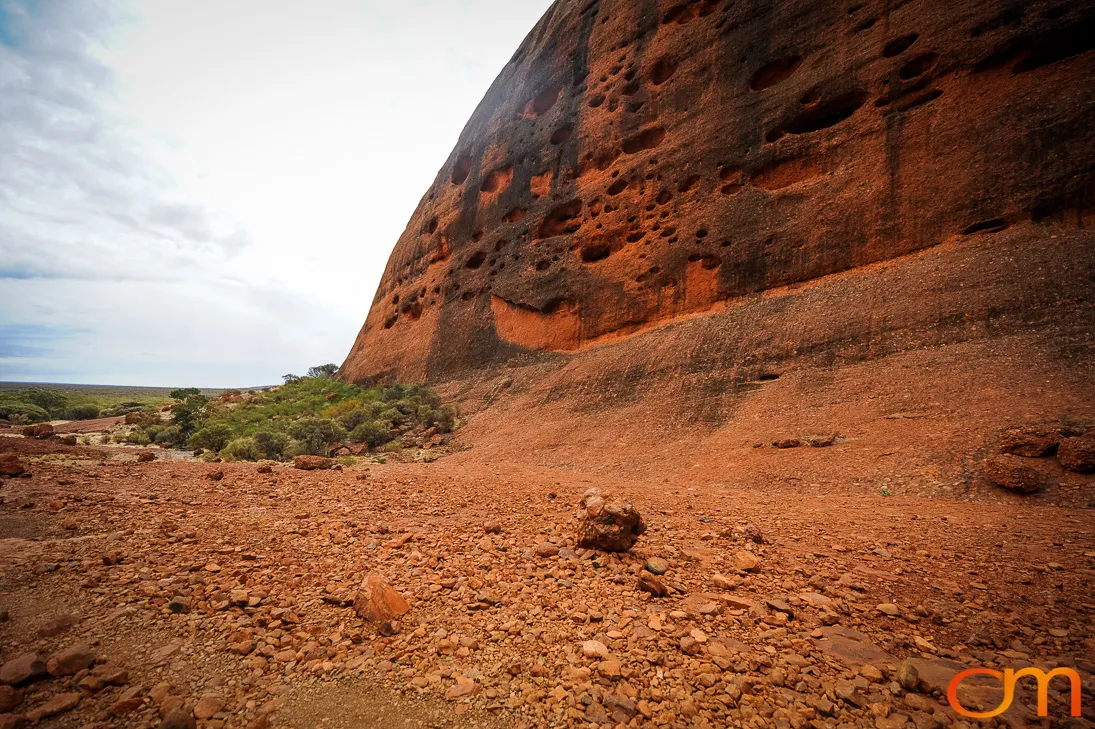
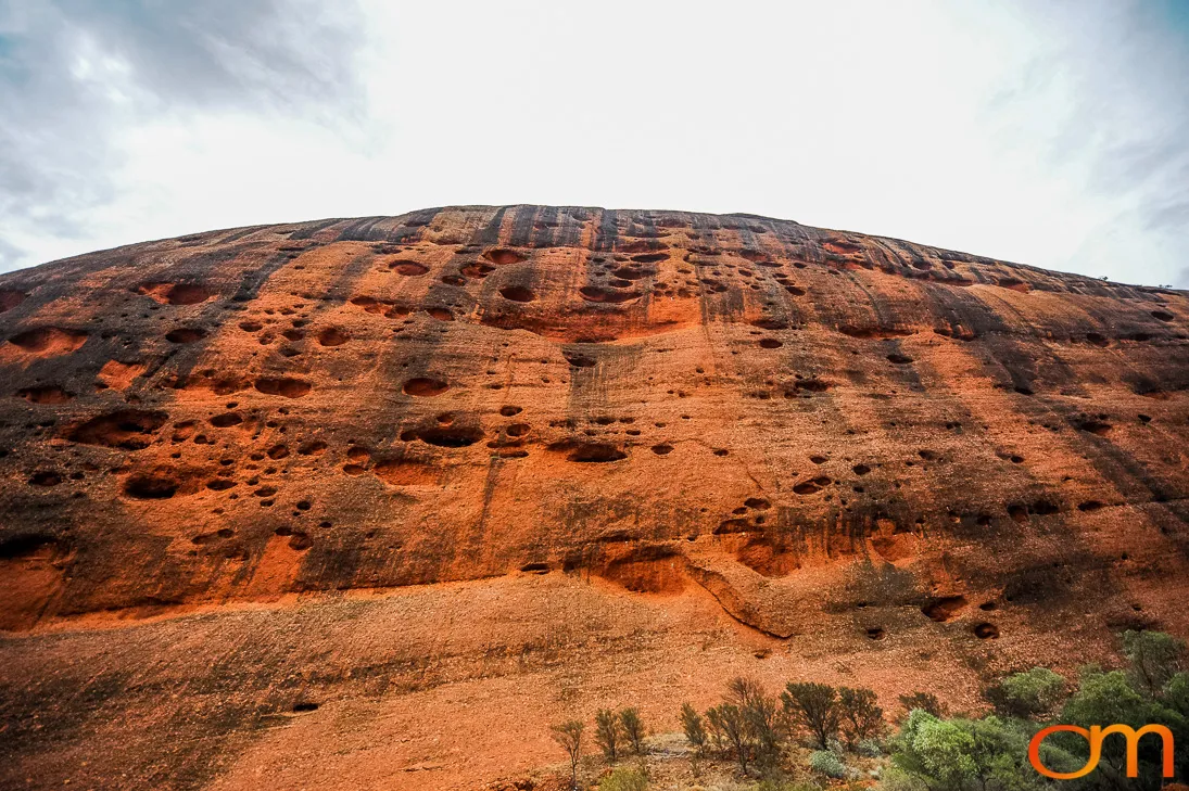
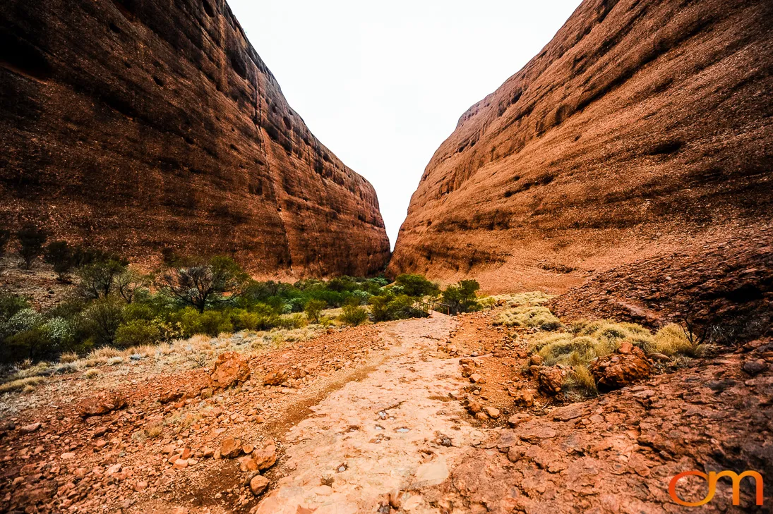
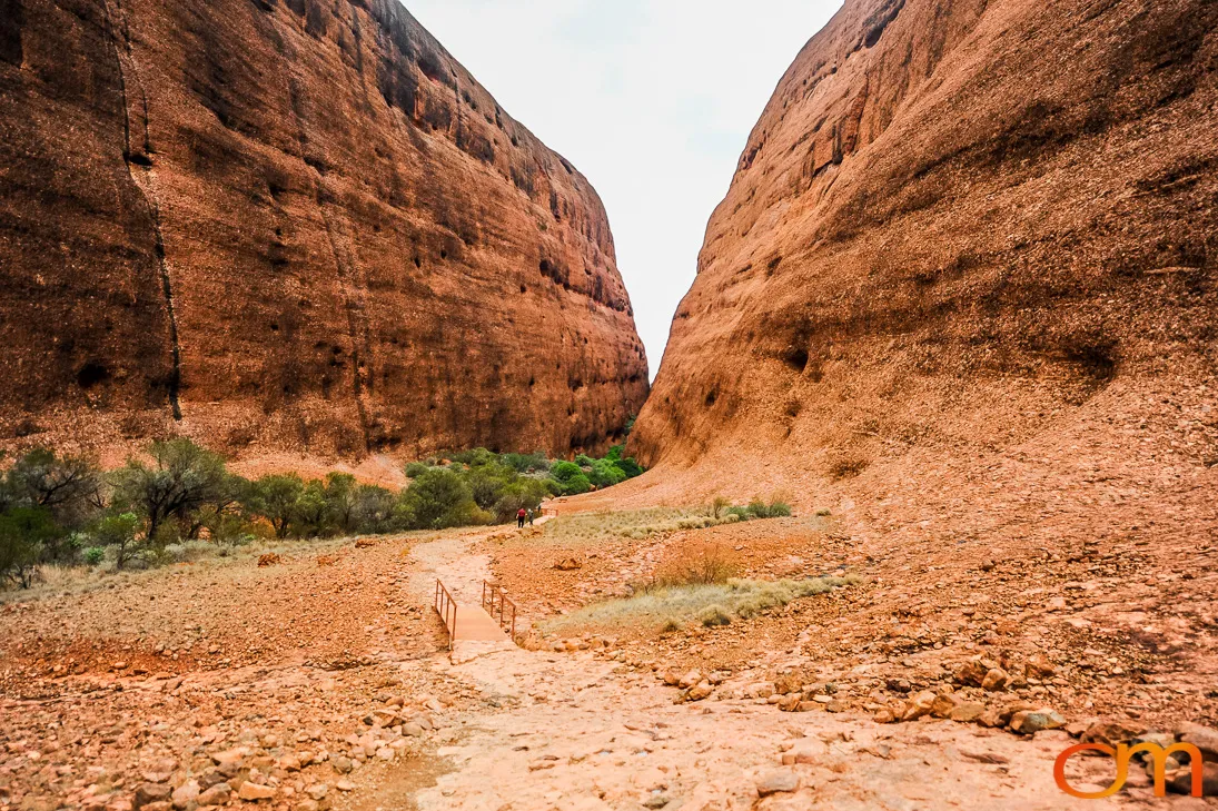
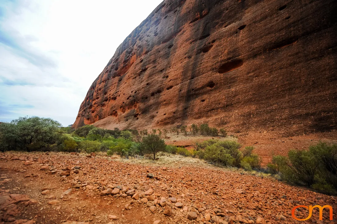
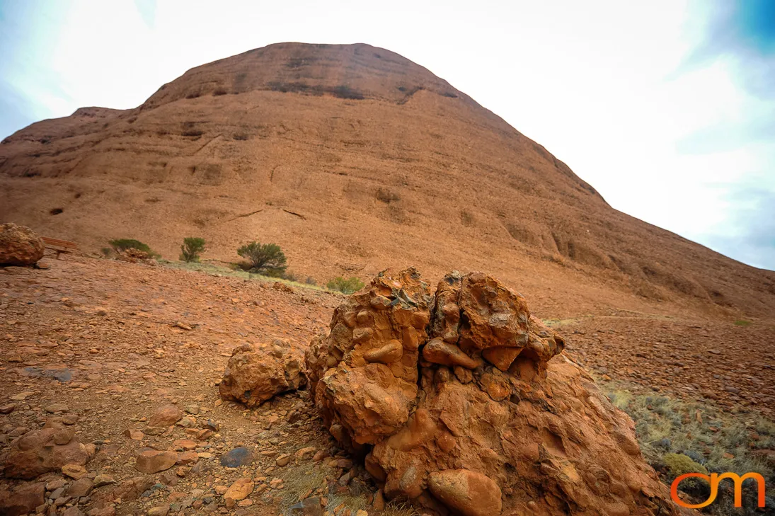
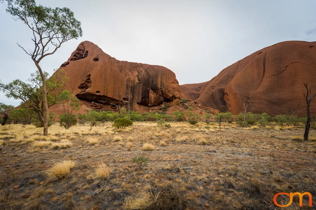
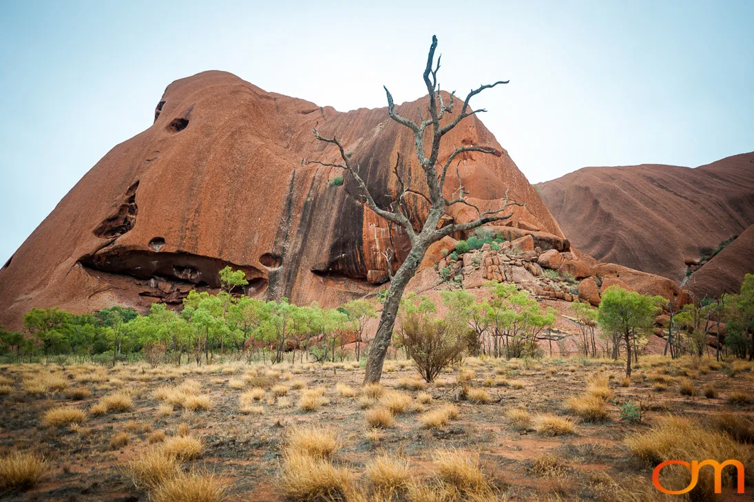
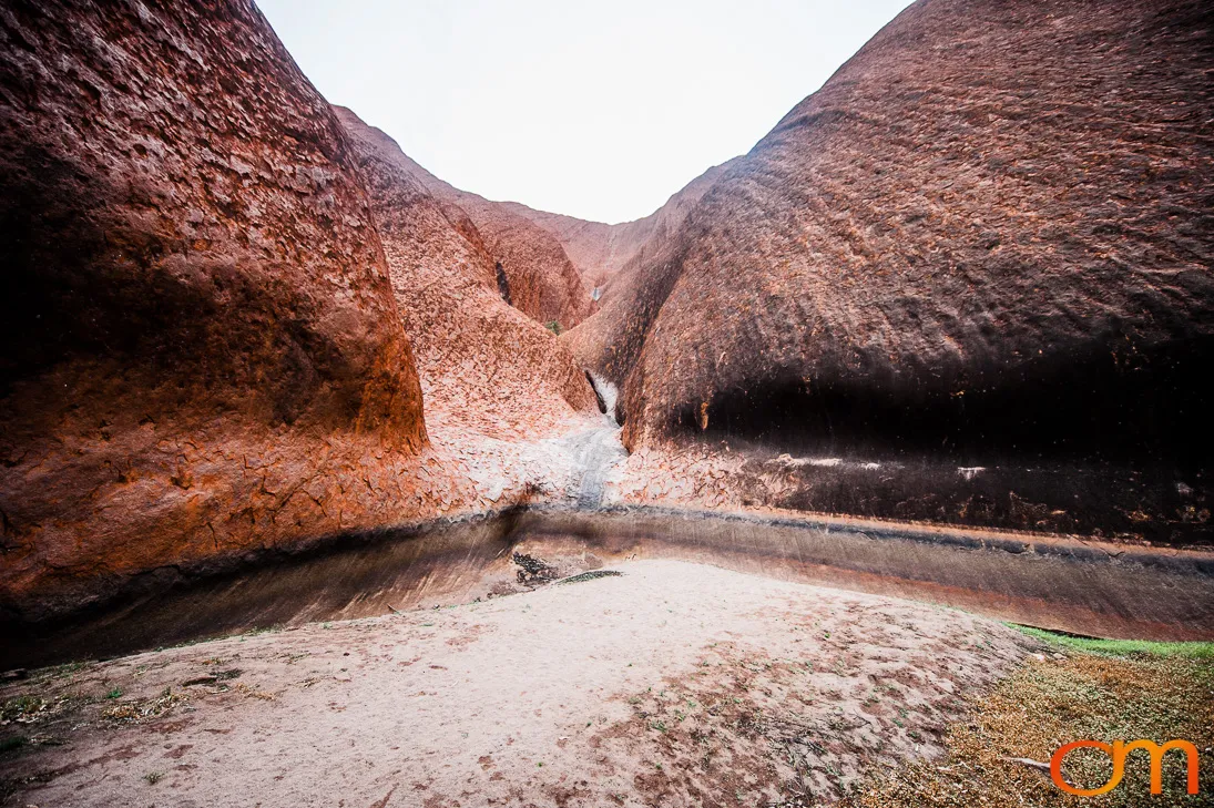
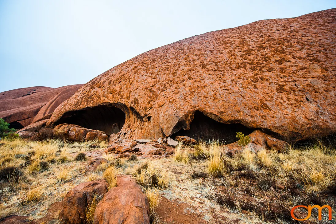
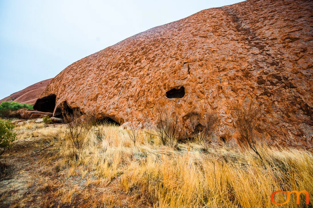
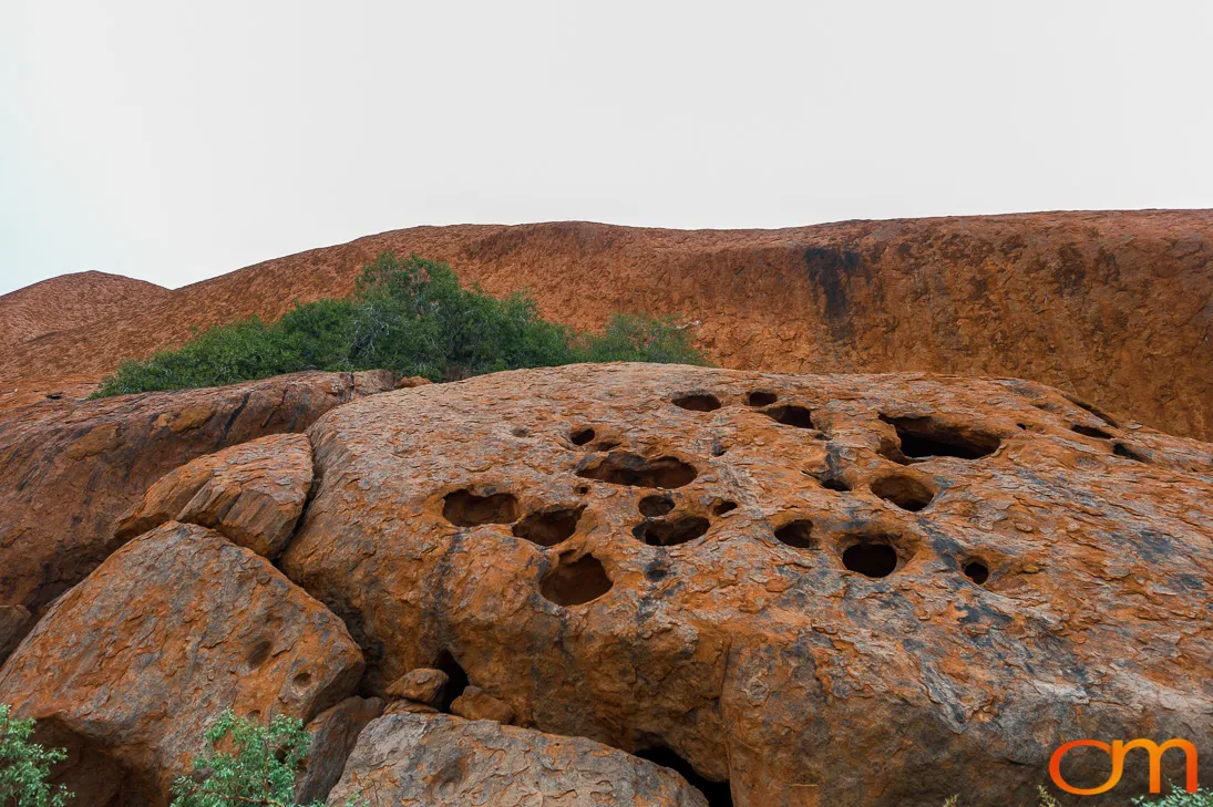
Uluṟu–Kata Tjuṯa National Park lies in the southern Northern Territory of central Australia. The park is named for two prominent geological formations: Uluṟu and Kata Tjuṯa. Their exposed surfaces can appear to change from brown and orange to deep red as shifting light alters the way their iron-rich rock reflects sunlight.
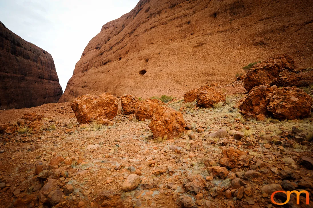
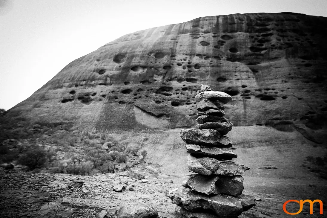
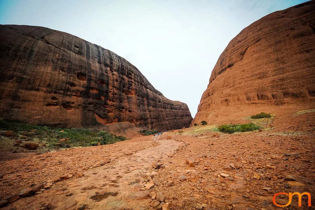
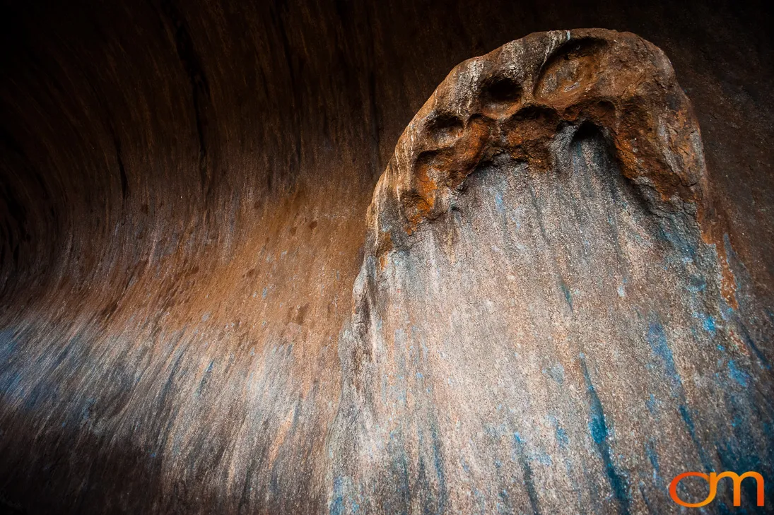
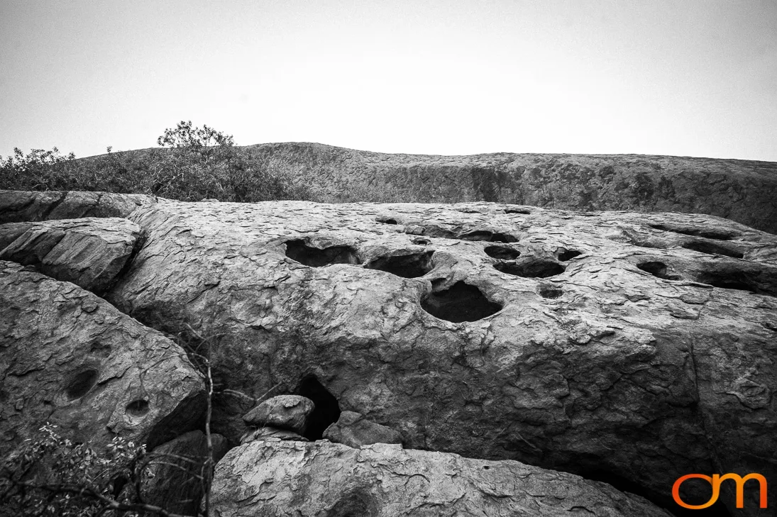
Although both formations originated from ancient sediment deposits, they are composed of different rock. Uluṟu consists mainly of arkose, a coarse sandstone rich in feldspar. Kata Tjuṯa consists of conglomerate containing pebbles, cobbles, and boulders cemented by sand and mud. The rocks were later tilted, uplifted, weathered, and exposed as the surrounding landscape eroded. Kata Tjuṯa comprises 36 domes covering more than 20 square kilometres, with its tallest dome rising 546 metres above the surrounding plain.
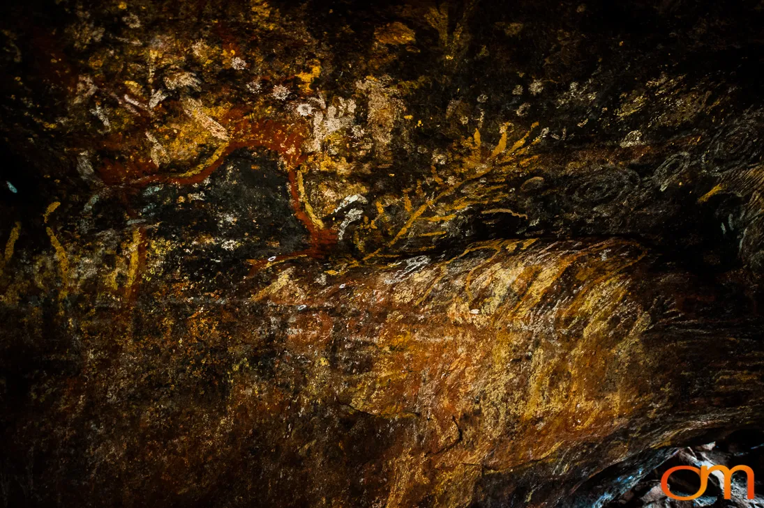
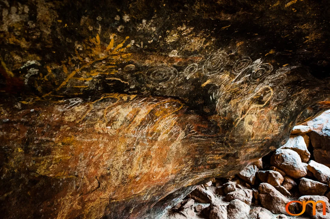
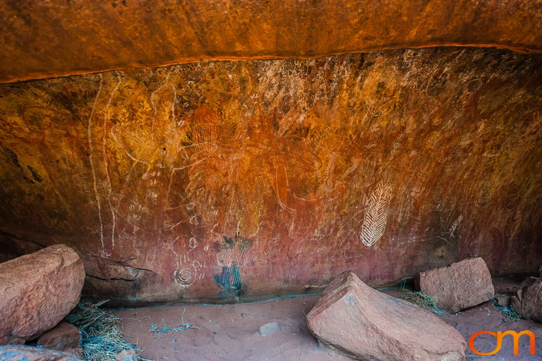
The park is the traditional Country of Aṉangu, who own the land and jointly manage it with Parks Australia. Uluṟu and Kata Tjuṯa are part of a living cultural landscape governed by Tjukurpa, the system of Aṉangu law, knowledge, and responsibilities to Country. Rock-art sites, ceremonial places, waterholes, and other landscape features preserve and communicate this continuing cultural knowledge.
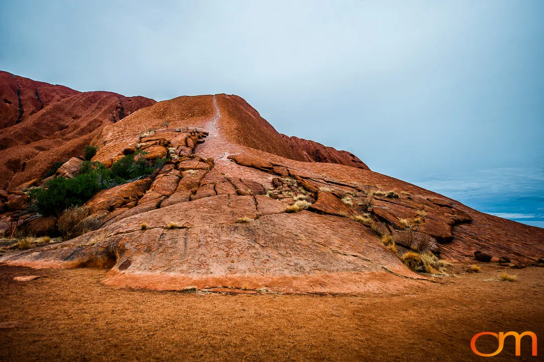
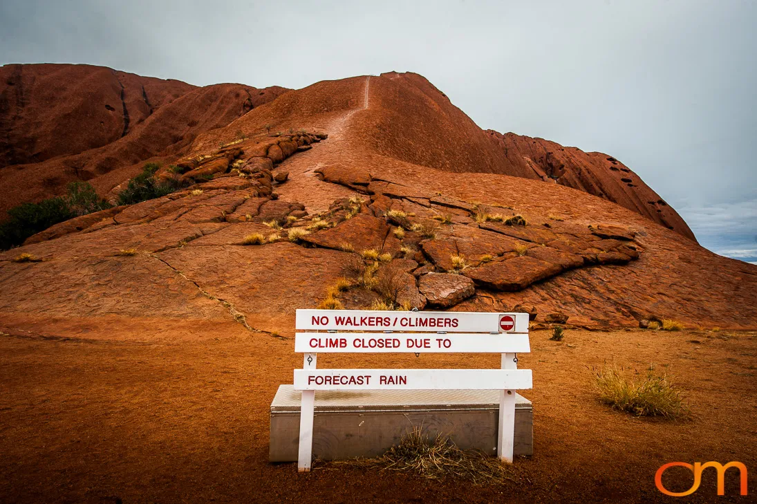
Uluṟu–Kata Tjuṯa National Park is inscribed on the UNESCO World Heritage List for both its natural and cultural values. The climb on Uluṟu closed permanently on October 26, 2019, in accordance with Aṉangu wishes and the park’s joint-management principles.