Cotopaxi
Cotopaxi: Ecuador’s Glacier-Capped Stratovolcano
July 2004
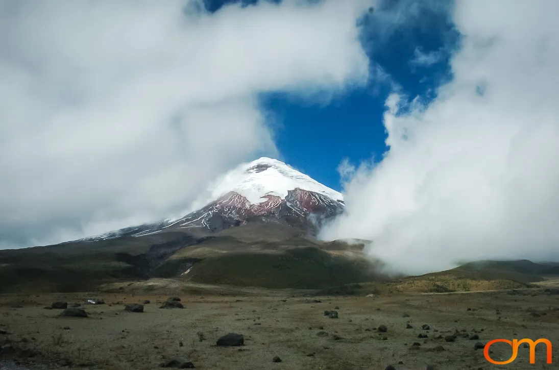
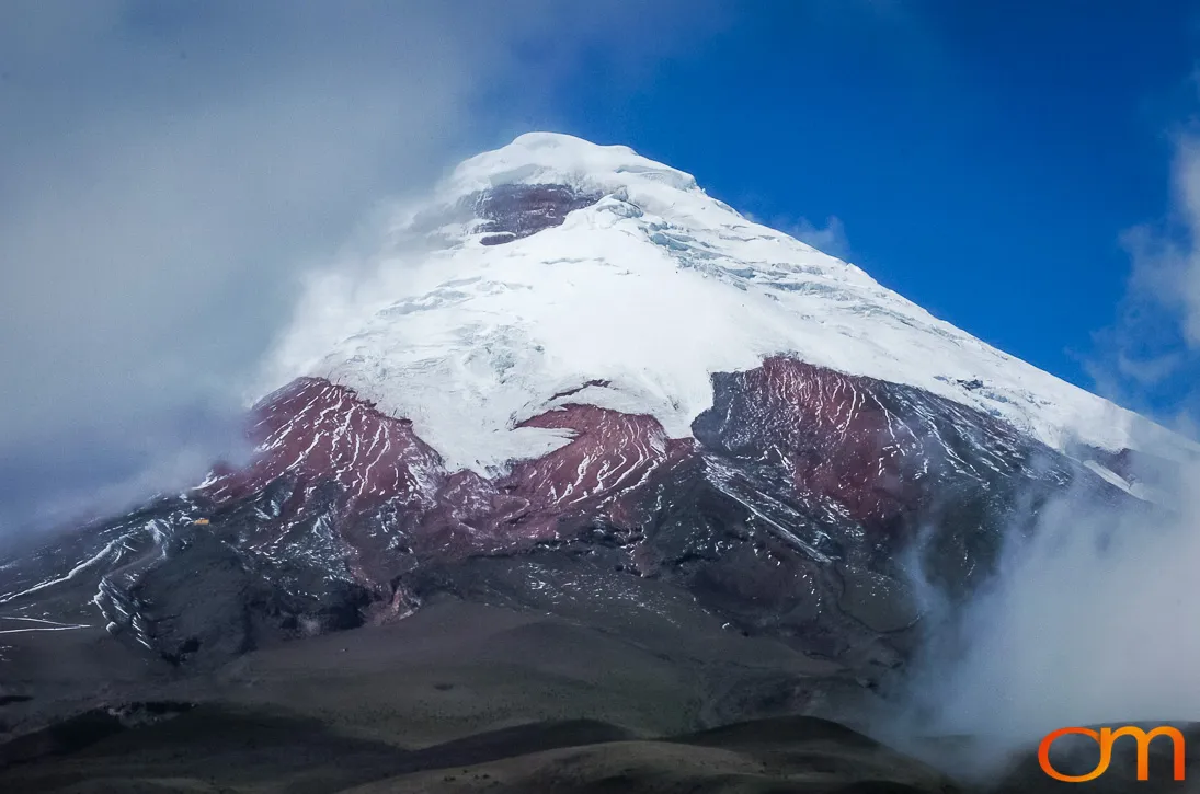
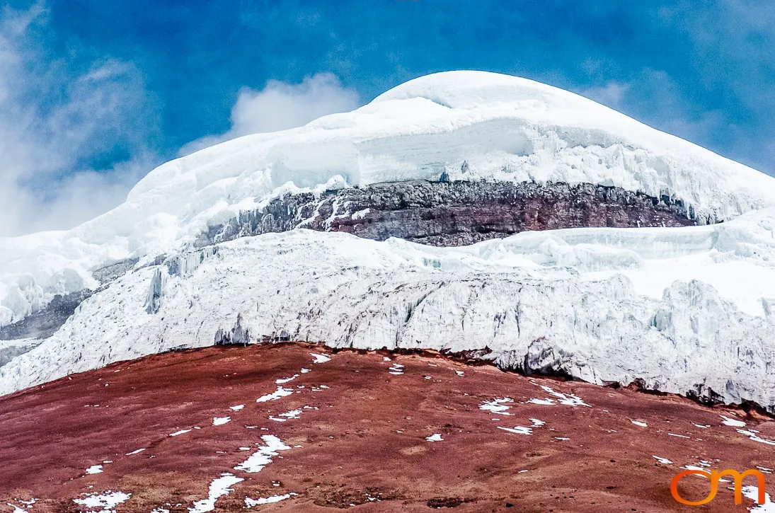
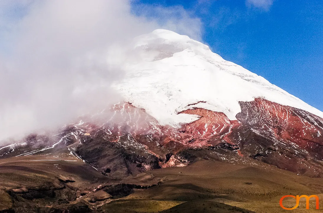
Cotopaxi is an active, glacier-capped stratovolcano in Ecuador’s Eastern Cordillera, approximately 28 miles (45 kilometers) southeast of Quito. Its nearly symmetrical cone rises to 19,347 feet (5,897 meters) above sea level and forms the central feature of Cotopaxi National Park.
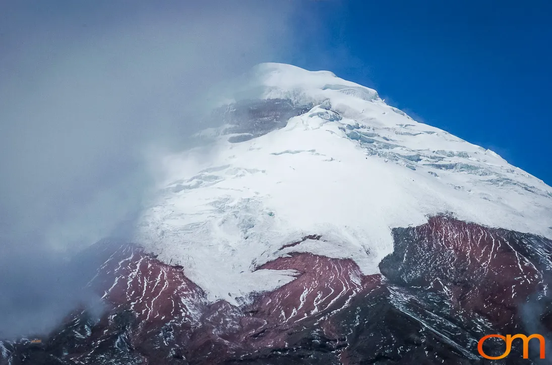
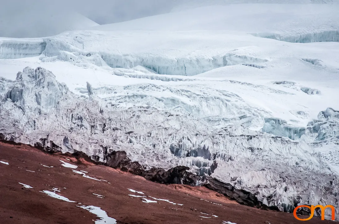
Cotopaxi’s glaciers increase the danger posed by major eruptions. Hot volcanic material can rapidly melt snow and ice, producing lahars, fast-moving mixtures of water, ash, rock, and debris—that follow river valleys far beyond the volcano. Large eruptive periods were recorded in 1532–1534, 1742–1744, 1766–1768, 1853–1854, and 1877–1880. The 1877 eruption generated lahars that traveled more than 100 kilometers (62 miles) toward both the Pacific drainage and the western Amazon basin.
When these photographs were taken in 2004, Cotopaxi was not experiencing an eruption. It later produced a small eruption from August to November 2015, followed by another period of low-level eruptive activity from October 2022 through July 2023. That later episode consisted primarily of gas and ash emissions, light ashfall, and occasional small lahars.
Current Context
As of February 2026, Ecuador’s Instituto Geofísico classified Cotopaxi as active, with fumarolic activity continuing at the summit. The volcano is continuously monitored because future eruptions could threaten communities, agricultural land, transportation routes, and river valleys surrounding the mountain.